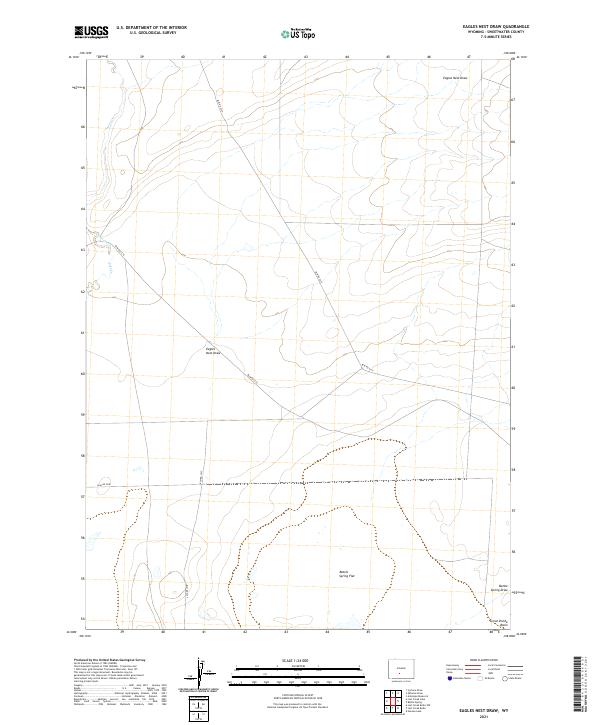
2021 Map of Eagles Nest Draw
USGS Topo · Published 2021About this map
Eagles Nest Draw defines the high-desert geography of this Sweetwater County landscape, where ephemeral drainages and Bureau of Land Management routes intersect within the Great Divide Basin. The map illustrates a remote section of Wyoming where water is a scarce and defining resource, highlighted by the presence of Lost Creek and the broad expanse of Battle Spring Flat. This 2021 survey reveals a modern grid of infrastructure, including Blm Rd 3217 and Blm Rd 3210, cutting through the traditional township and range divisions of t24n r94w and t25n r95w. The convergence of Battle Spring Draw in the southern reaches underscores the interior drainage characteristics of the basin, offering a detailed look at the hydrology and access routes used by contemporary land managers and outdoor researchers in this sparsely populated region.
Find a feature on this map
15 named features on this map. Tap any name to fly to it.
Don’t see what you’re looking for? This feature index may not catch every label — zoom into the map to look around manually.
Map Details
Editions of this 2021 Eagles Nest Draw Map
This is the sole edition of this map. No revisions or reprints were ever made.
Other maps of this area

1954 · Rawlins
USGS Topo · 1:250,000

1954 · Rock Springs
USGS Topo · 1:250,000

1955 · Lander
USGS Topo · 1:250,000

1955 · Casper
USGS Topo · 1:250,000

1958 · Rawlins
USGS Topo · 1:250,000

1958 · Casper
USGS Topo · 1:250,000

1958 · Lander
USGS Topo · 1:250,000

1958 · Rock Springs
USGS Topo · 1:250,000

1960 · Battle Spring
USGS Topo · 1:24,000

1960 · Lost Creek Butte
USGS Topo · 1:62,500