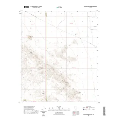
2018 Map of Eagletail Mountains East
USGS Topo · Published 2018About this map
Courthouse Rock stands as a prominent landmark in the northwestern reach of this desert landscape, where the Eagletail Mountains dominate the western half of the map. This area is defined by its sharp topographic relief and unique geological formations, including several instances of a Natural Arch and the distinct Eagletail Arch located in the southeastern peaks. The transition from these high points, like Eagletail Peak and Anvil Mtn, down to the flat expanse of the Harquahala Plain in the northeast, illustrates the classic basin and range geography of this part of Arizona.
Find a feature on this map
28 named features on this map. Tap any name to fly to it.
Don’t see what you’re looking for? This feature index may not catch every label — zoom into the map to look around manually.
Map Details
Editions of this 2018 Eagletail Mountains East Map
This is the sole edition of this map. No revisions or reprints were ever made.
Other maps of this area

1942 · Vicksburg
USGS Topo · 1:250,000

1954 · Phoenix
USGS Topo · 1:250,000

1957 · Phoenix
USGS Topo · 1:250,000

1958 · Phoenix
USGS Topo · 1:250,000

1960 · Phoenix
USGS Topo · 1:250,000

1961 · Lone Mountain
USGS Topo · 1:62,500

1961 · Big Horn Mts
USGS Topo · 1:62,500

1962 · Cortez Peak
USGS Topo · 1:62,500

1962 · Eagletail Mts
USGS Topo · 1:62,500

1969 · Phoenix
USGS Topo · 1:250,000