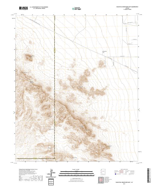
2021 Map of Eagletail Mountains East
USGS Topo · Published 2021About this map
The Eagletail Mountains dominate this arid landscape, straddling the county lines between Maricopa, La Paz, and Yuma. The terrain is defined by dramatic geological formations, most notably the prominent spire of Courthouse Rock and several spans including the Eagletail Arch and multiple instances of Natural Arch. These landmarks serve as critical navigational points within the desert environment, where water is scarce, save for the isolated Willow Spring tucked into the mountain slopes.
Find a feature on this map
26 named features on this map. Tap any name to fly to it.
Don’t see what you’re looking for? This feature index may not catch every label — zoom into the map to look around manually.
Map Details
Editions of this 2021 Eagletail Mountains East Map
This is the sole edition of this map. No revisions or reprints were ever made.
Other maps of this area

1942 · Vicksburg
USGS Topo · 1:250,000

1954 · Phoenix
USGS Topo · 1:250,000

1957 · Phoenix
USGS Topo · 1:250,000

1958 · Phoenix
USGS Topo · 1:250,000

1960 · Phoenix
USGS Topo · 1:250,000

1961 · Lone Mountain
USGS Topo · 1:62,500

1961 · Big Horn Mts
USGS Topo · 1:62,500

1962 · Cortez Peak
USGS Topo · 1:62,500

1962 · Eagletail Mts
USGS Topo · 1:62,500

1969 · Phoenix
USGS Topo · 1:250,000