
1962 Map of Eagletail Mts
USGS Topo · Published 1964About this map
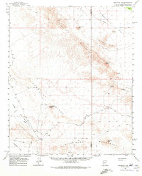
The Eagletail Mountains define this arid landscape, where the boundary between Yuma County and Maricopa County bisects a terrain marked by distinctive volcanic formations and old mining prospects. Prominent landmarks such as Courthouse Rock, Eagletail Peak, and the Natural Arch dominate the central topography, providing fixed points for surveyors and travelers in a region largely defined by desert basins and isolated ranges.
Find a feature on this map
27 named features on this map. Tap any name to fly to it.
Don’t see what you’re looking for? This feature index may not catch every label — zoom into the map to look around manually.
Map Details
Editions of this 1962 Eagletail Mts Map
3 editions found
Other maps of this area

1927 · Hyder
USGS Topo · 1:62,500

1930 · Hyder
USGS Topo · 1:62,500

1942 · Vicksburg
USGS Topo · 1:250,000

1951 · Dendora Valley
USGS Topo · 1:62,500

1954 · Phoenix
USGS Topo · 1:250,000

1957 · Phoenix
USGS Topo · 1:250,000

1958 · Phoenix
USGS Topo · 1:250,000

1960 · Phoenix
USGS Topo · 1:250,000

1961 · Hope
USGS Topo · 1:62,500

1961 · Lone Mountain
USGS Topo · 1:62,500