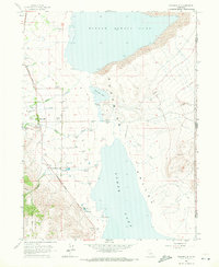
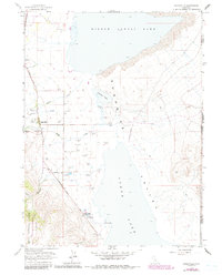
1963 Map of Eagleville
USGS Topo · Published 1982About this map
Eagleville serves as the focal point of this arid basin landscape, situated along the western edge of the Surprise Valley near the foothills of the Modoc National Forest. This mid-century survey illustrates a complex hydrological system where seasonal runoff from canyons like Eagle Creek and Raider Creek feeds into the expansive, often dry basins of Middle Alkali Lake and Lower Alkali Lake. The map reveals a high concentration of water management features, including numerous Flowing Wells and a Gaging Station, which were critical for sustaining life and livestock in this corner of the Great Basin.
Find a feature on this map
27 named features on this map. Tap any name to fly to it.
Don’t see what you’re looking for? This feature index may not catch every label — zoom into the map to look around manually.
Map Details
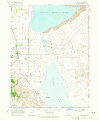
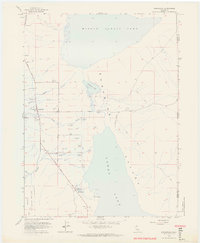
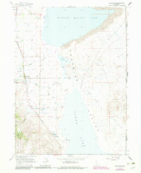
Editions of this 1963 Eagleville Map
5 editions found
Other maps of this area

1886 · Alturas
USGS Topo · 1:250,000

1889 · Long Valley
USGS Topo · 1:250,000

1892 · Alturas
USGS Topo · 1:250,000

1954 · Vya
USGS Topo · 1:250,000

1954 · Alturas
USGS Topo · 1:250,000

1958 · Alturas
USGS Topo · 1:250,000

1958 · Vya
USGS Topo · 1:250,000

1962 · Alturas
USGS Topo · 1:250,000

1962 · Vya
USGS Topo · 1:250,000

1962 · Snake Lake
USGS Topo · 1:24,000