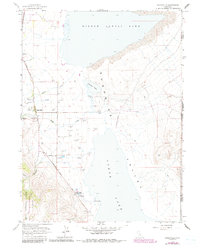
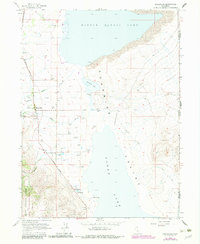
1963 Map of Eagleville
USGS Topo · Published 1991About this map
Surprise Valley defines this eastern edge of California, where the high desert floor meets the rising peaks of the Modoc National Forest. The settlement of Eagleville serves as the focal point of the region, situated along the Surprise Valley Road at the base of the Warner Mountains Wilderness. This survey captures a landscape of extreme hydrological contrast, from the geothermal activity at Menlo Baths and various Hot Springs to the expansive, fluctuating beds of Middle Alkali Lake and Lower Lake.
Find a feature on this map
27 named features on this map. Tap any name to fly to it.
Don’t see what you’re looking for? This feature index may not catch every label — zoom into the map to look around manually.
Map Details
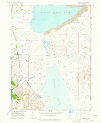
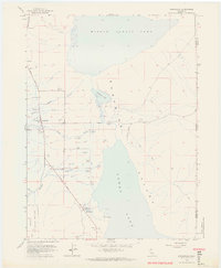
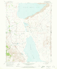
Editions of this 1963 Eagleville Map
5 editions found
Other maps of this area

1886 · Alturas
USGS Topo · 1:250,000

1889 · Long Valley
USGS Topo · 1:250,000

1892 · Alturas
USGS Topo · 1:250,000

1954 · Vya
USGS Topo · 1:250,000

1954 · Alturas
USGS Topo · 1:250,000

1958 · Alturas
USGS Topo · 1:250,000

1958 · Vya
USGS Topo · 1:250,000

1962 · Alturas
USGS Topo · 1:250,000

1962 · Vya
USGS Topo · 1:250,000

1962 · Snake Lake
USGS Topo · 1:24,000