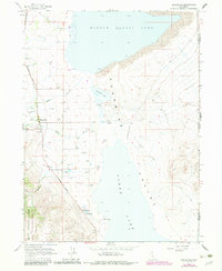
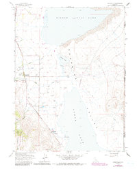
1963 Map of Eagleville
USGS Topo · Published 1983About this map
Surprise Valley serves as a stark geological basin where the waters of Middle Alkali Lake and Lower Alkali Lake dominate the landscape east of the Warner Mountains. The settlement of Eagleville sits at the base of the range, functioning as a local hub with its Ranger Station, Airport, and Eagleville Cem. This 1963 survey, with revisions from the early 1980s, highlights a complex hydrology of numerous Flowing Wells and Hot Springs, particularly around Menlo Baths. To the west, the boundary of the Modoc National Forest and the South Warner Wilderness transitions from the valley floor into high-elevation terrain marked by Raider Creek and Eagle Creek. The presence of a solitary Grave and various Jeep Trails underscores the isolated character of this high desert region along the California-Nevada border.
Find a feature on this map
37 named features on this map. Tap any name to fly to it.
Don’t see what you’re looking for? This feature index may not catch every label — zoom into the map to look around manually.
Map Details
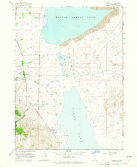
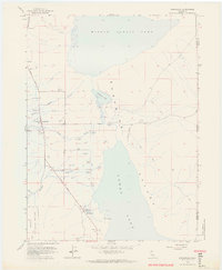
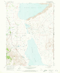
Editions of this 1963 Eagleville Map
5 editions found
Other maps of this area

1886 · Alturas
USGS Topo · 1:250,000

1889 · Long Valley
USGS Topo · 1:250,000

1892 · Alturas
USGS Topo · 1:250,000

1954 · Vya
USGS Topo · 1:250,000

1954 · Alturas
USGS Topo · 1:250,000

1958 · Alturas
USGS Topo · 1:250,000

1958 · Vya
USGS Topo · 1:250,000

1962 · Alturas
USGS Topo · 1:250,000

1962 · Vya
USGS Topo · 1:250,000

1962 · Snake Lake
USGS Topo · 1:24,000