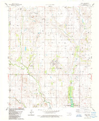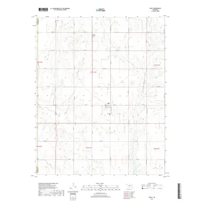
1961 Map of Eakly
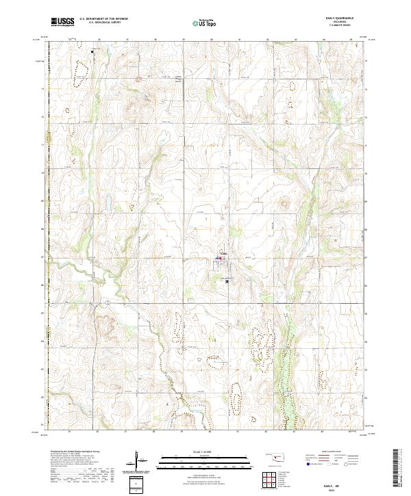
USGS Topo · Published 1975About this map
Colony and Eakly anchor this Oklahoma landscape, which is marked by the complex drainage of Cobb Creek and its many tributaries like Fivemile Creek and Bull Creek. In the late 1950s and early 1960s, this region was undergoing significant hydrological changes, most notably the development of the Fort Cobb Reservoir at the confluence of several local streams. The presence of numerous irrigation wells and quarries across the sheet indicates a rural economy balanced between agriculture and mineral extraction. Genealogists will find a wealth of local markers, from the Indian Cem near Colony to the remote Bethany Cem and High Point Cem. The terrain is punctuated by distinctive geological features such as Twin Mounds, Ghost Mound, and the Cedar Hills, providing a clear view of the Caddo, Custer, and Washita county borders before modern development altered the rural character.
Find a feature on this map
59 named features on this map. Tap any name to fly to it.
Don’t see what you’re looking for? This feature index may not catch every label — zoom into the map to look around manually.
Map Details
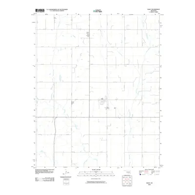
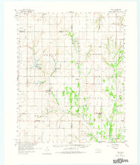
Editions of this 1961 Eakly Map
2 editions found
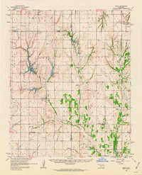
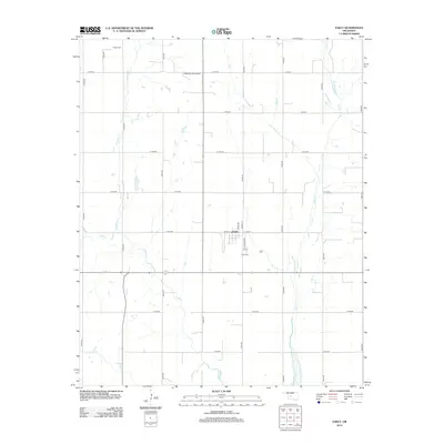
Historical Maps of Eakly Through Time
7 maps found