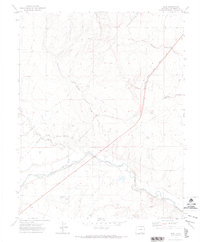
1970 Map of Earl
USGS Topo · Published 1974About this map
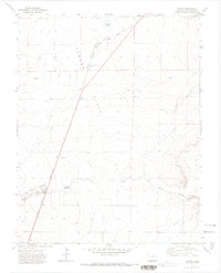
The Purgatoire River meanders across this Las Animas County landscape, its course flanked by an intricate network of irrigation systems including the Model Ditch and Hoehne Ditch. The settlement of Earl serves as a central point along the Atchison Topeka and Santa Fe railroad, which cuts a straight path through the drainage basins of Blackwell Arroyo and Furness Arroyo.
Find a feature on this map
17 named features on this map. Tap any name to fly to it.
Don’t see what you’re looking for? This feature index may not catch every label — zoom into the map to look around manually.
Map Details
Editions of this 1970 Earl Map
2 editions found
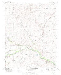
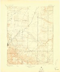
Other maps of this area

1892 · Elmoro
USGS Topo · 1:125,000

1893 · Elmoro
USGS Topo · 1:125,000
1897 · Elmoro
USGS Topo · 1:125,000

1954 · Trinidad
USGS Topo · 1:250,000

1955 · Trinidad
USGS Topo · 1:250,000

1958 · Trinidad
USGS Topo · 1:250,000

1959 · Trinidad
USGS Topo · 1:250,000
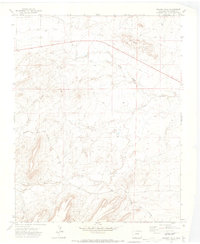
1970 · Mooney Hills
USGS Topo · 1:24,000

1970 · Hoehne
USGS Topo · 1:24,000
1971 · Tyrone
USGS Topo · 1:24,000