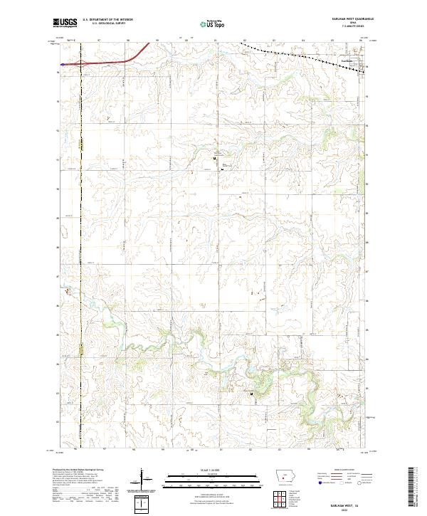
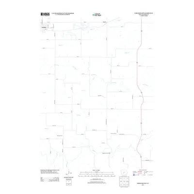
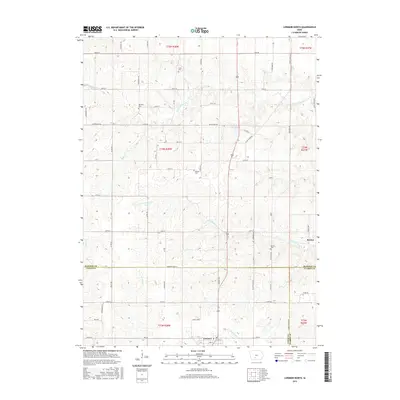
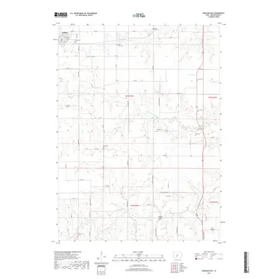
2022 Map of Earlham West
USGS Topo · Published 2022About this map
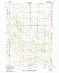
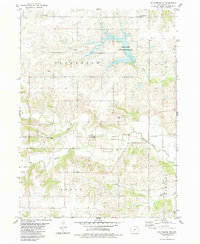
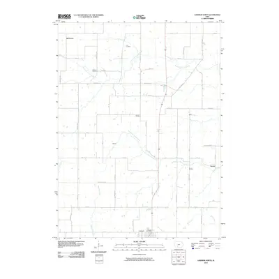
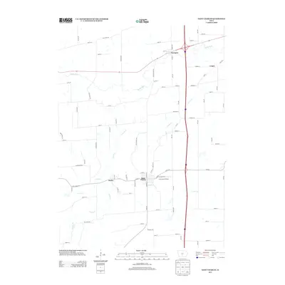
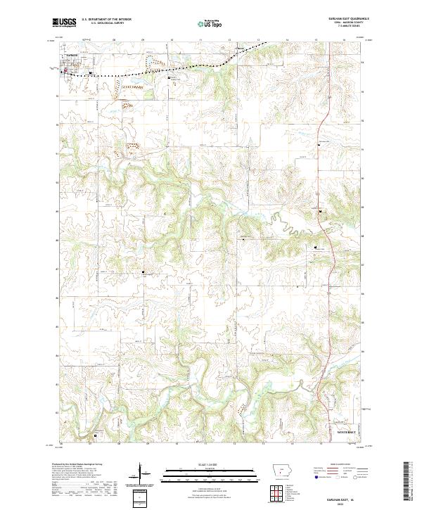
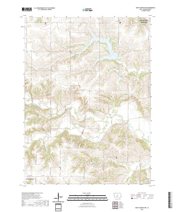
Earlham anchors the northeast corner of this Madison County landscape, where the town grid meets the rolling agricultural terrain of central Iowa. The map reveals a land defined by its waterways and pioneer legacies, with the North River and its tributary N Br N River carving through the southern and northern sections respectively. A significant concentration of early community history is found near the center of the sheet, where Old Penn Center Cem and the Penn Center Cem sit close to one another along Pitzer Rd. Further south, the Eppard Cem overlooks a bend in the river, providing valuable points of reference for genealogists tracing families in these rural townships. The layout of the section lines and roads like Creamery Rd and Cottonwood Ave reflects the enduring structure of the Public Land Survey System across the Adair County and Madison County line.
Find a feature on this map
43 named features on this map. Tap any name to fly to it.
Don’t see what you’re looking for? This feature index may not catch every label — zoom into the map to look around manually.
Map Details
Editions of this 2022 Earlham West Map
This is the sole edition of this map. No revisions or reprints were ever made.
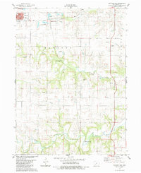
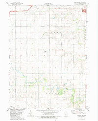
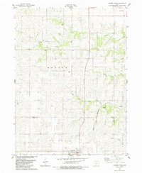
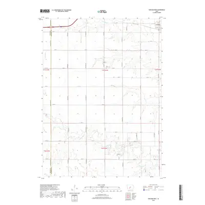
Historical Maps of Earlham Through Time
35 maps found
1983 Earlham East
Madison County, IA
1983 Earlham West
Madison County, IA
1983 Lorimor North
Madison County, IA
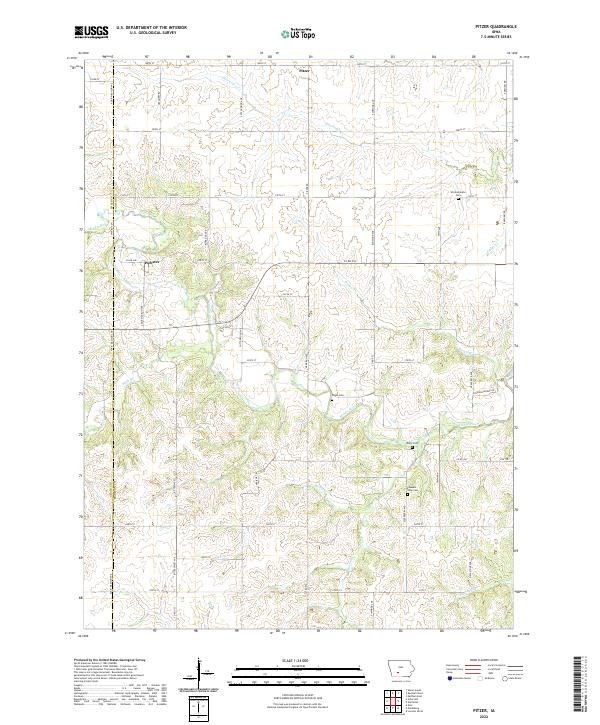
1983 Pitzer
Madison County, IA
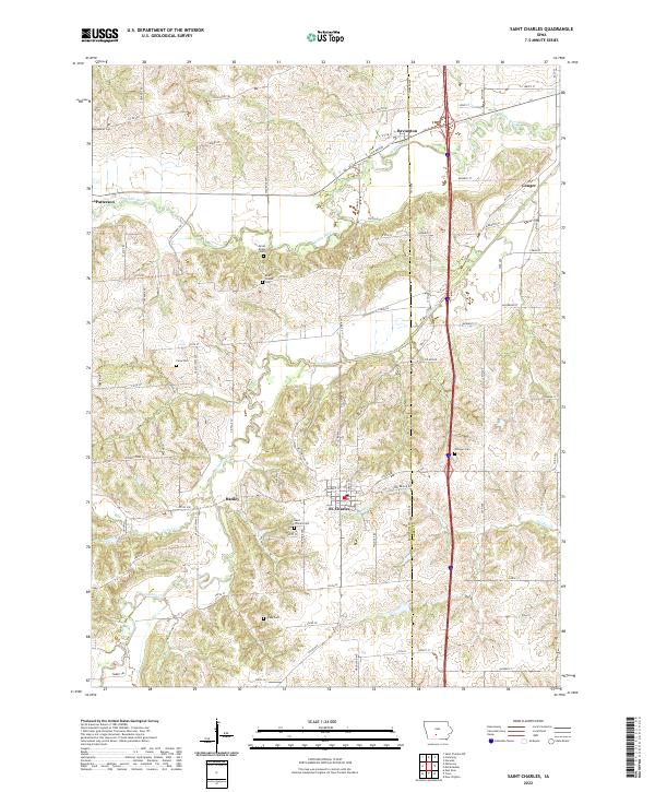
1983 St. Charles NW
Madison County, IA
2010 Earlham East
Madison County, IA
2010 Earlham West
Madison County, IA
2010 Lorimor North
Madison County, IA
2010 Pitzer
Madison County, IA
2010 Saint Charles
Madison County, IA
2010 Saint Charles NW
Madison County, IA
2013 Earlham East
Madison County, IA
2013 Earlham West
Madison County, IA
2013 Lorimor North
Madison County, IA
2013 Pitzer
Madison County, IA
2013 Saint Charles
Madison County, IA
2013 Saint Charles NW
Madison County, IA
2015 Earlham East
Madison County, IA
2015 Earlham West
Madison County, IA
2015 Lorimor North
Madison County, IA
2015 Pitzer
Madison County, IA
2015 Saint Charles
Madison County, IA
2015 Saint Charles NW
Madison County, IA
2018 Earlham East
Madison County, IA
2018 Earlham West
Madison County, IA
2018 Lorimor North
Madison County, IA
2018 Pitzer
Madison County, IA
2018 Saint Charles
Madison County, IA
2018 Saint Charles NW
Madison County, IA
2022 Earlham East
Madison County, IA
2022 Earlham West
Madison County, IA
2022 Lorimor North
Madison County, IA
2022 Pitzer
Madison County, IA
2022 Saint Charles
Madison County, IA
2022 Saint Charles NW
Madison County, IA