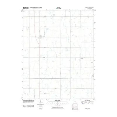
2010 Map of Earlton
USGS Topo · Published 2010About this map
Earlton and the small community of Urbana anchor this portion of Neosho County, defined by a rectilinear grid of section roads and the meandering courses of the Elk River and Little Elk Creek. The landscape is typical of the eastern Kansas plains, where agricultural fields are delineated by roads like 170th Rd and Dorn Rd. Waterways such as Turkey Creek and Little Chetopa Creek cut through the terrain, creating natural breaks in the systematic township and range organization. Genealogists and local historians can find specific landmarks such as the Bethel Cemetery on the eastern edge of the quadrangle and follow the path of Earlton Cemetary Rd. The map illustrates a stable rural environment where the placement of farmsteads and small settlements remains closely tied to the local creek drainage systems and the established county road network.
Find a feature on this map
27 named features on this map. Tap any name to fly to it.
Don’t see what you’re looking for? This feature index may not catch every label — zoom into the map to look around manually.
Map Details
Editions of this 2010 Earlton Map
This is the sole edition of this map. No revisions or reprints were ever made.
Other maps of this area

1886 · Fredonia
USGS Topo · 1:125,000

1886 · Iola
USGS Topo · 1:125,000

1886 · Independence
USGS Topo · 1:125,000

1886 · Parsons
USGS Topo · 1:125,000

1893 · Iola
USGS Topo · 1:125,000

1893 · Parsons
USGS Topo · 1:125,000

1894 · Fredonia
USGS Topo · 1:125,000

1894 · Independence
USGS Topo · 1:125,000

1904 · Iola
USGS Topo · 1:125,000

1905 · Independence
USGS Topo · 1:125,000