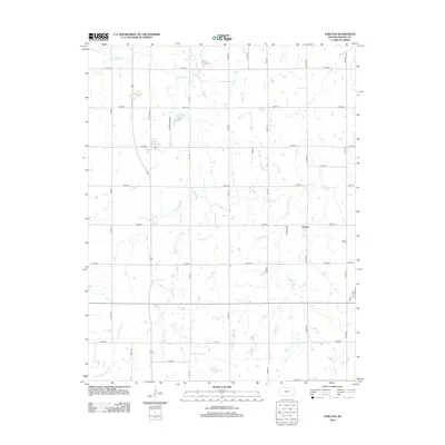
2012 Map of Earlton
USGS Topo · Published 2012About this map
Urbana sits at a crossroads in Neosho County, marking a localized pocket of settlement within a landscape dominated by the branching tributaries of the Elk River. This river system and its various offshoots, including Little Elk Cr and Turkey Cr, carve a meandering drainage pattern across the region. The map provides essential documentation for family history researchers, specifically locating the Earlton Cemetery north of the main settlement area and the Urbana Cem situated further east near Irving Rd.
Find a feature on this map
31 named features on this map. Tap any name to fly to it.
Don’t see what you’re looking for? This feature index may not catch every label — zoom into the map to look around manually.
Map Details
Editions of this 2012 Earlton Map
This is the sole edition of this map. No revisions or reprints were ever made.
Other maps of this area

1886 · Fredonia
USGS Topo · 1:125,000

1886 · Iola
USGS Topo · 1:125,000

1886 · Independence
USGS Topo · 1:125,000

1886 · Parsons
USGS Topo · 1:125,000

1893 · Iola
USGS Topo · 1:125,000

1893 · Parsons
USGS Topo · 1:125,000

1894 · Fredonia
USGS Topo · 1:125,000

1894 · Independence
USGS Topo · 1:125,000

1904 · Iola
USGS Topo · 1:125,000

1905 · Independence
USGS Topo · 1:125,000