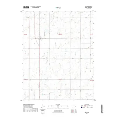
2018 Map of Earlton
USGS Topo · Published 2018About this map
Earlton serves as the primary settlement on this Neosho County quadrangle, situated where Arkansas St meets the rural grid south of Turkey Cr. The landscape is defined by the winding course of the Elk River, which cuts across the central portion of the map, fed by tributaries including Little Elk Cr and Mud Cr. The township and range lines of T28S and T29S organize the territory into a precise system of section roads like Douglas Rd and Irving Rd, typical of the Kansas prairie.
Find a feature on this map
37 named features on this map. Tap any name to fly to it.
Don’t see what you’re looking for? This feature index may not catch every label — zoom into the map to look around manually.
Map Details
Editions of this 2018 Earlton Map
This is the sole edition of this map. No revisions or reprints were ever made.
Other maps of this area

1886 · Fredonia
USGS Topo · 1:125,000

1886 · Iola
USGS Topo · 1:125,000

1886 · Independence
USGS Topo · 1:125,000

1886 · Parsons
USGS Topo · 1:125,000

1893 · Iola
USGS Topo · 1:125,000

1893 · Parsons
USGS Topo · 1:125,000

1894 · Fredonia
USGS Topo · 1:125,000

1894 · Independence
USGS Topo · 1:125,000

1904 · Iola
USGS Topo · 1:125,000

1905 · Independence
USGS Topo · 1:125,000