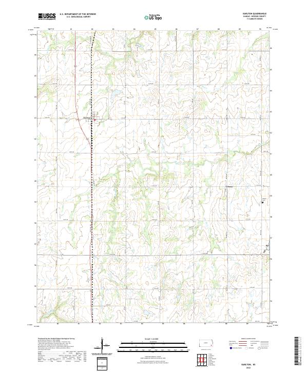
2022 Map of Earlton
USGS Topo · Published 2022About this map
The Elk River drainage system defines the rural landscape of Neosho County, where agricultural grid roads intersect several winding waterways. The small community of Earlton serves as a primary point of interest in the northwestern portion of this study, while further east, the settlement of Urbana remains a key landmark for local history researchers. This 2022 survey provides a clear view of the modern township and range divisions, showing how property boundaries follow the traditional section lines established by early surveyors.
Find a feature on this map
35 named features on this map. Tap any name to fly to it.
Don’t see what you’re looking for? This feature index may not catch every label — zoom into the map to look around manually.
Map Details
Editions of this 2022 Earlton Map
This is the sole edition of this map. No revisions or reprints were ever made.
Other maps of this area

1886 · Fredonia
USGS Topo · 1:125,000

1886 · Iola
USGS Topo · 1:125,000

1886 · Independence
USGS Topo · 1:125,000

1886 · Parsons
USGS Topo · 1:125,000

1893 · Iola
USGS Topo · 1:125,000

1893 · Parsons
USGS Topo · 1:125,000

1894 · Fredonia
USGS Topo · 1:125,000

1894 · Independence
USGS Topo · 1:125,000

1904 · Iola
USGS Topo · 1:125,000

1905 · Independence
USGS Topo · 1:125,000