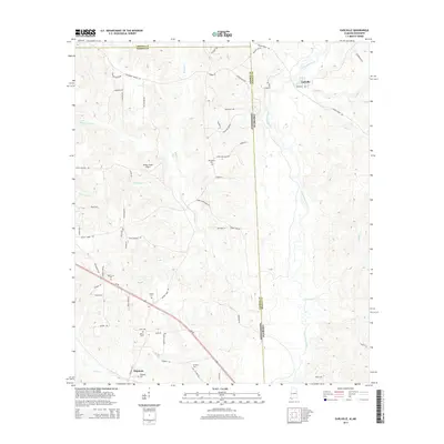
2014 Map of Earlville
USGS Topo · Published 2014About this map
The Escatawpa River defines the landscape of the Alabama-Mississippi borderlands, winding through the eastern portion of this 2014 survey. This region, where Mobile and George counties meet, is characterized by a network of rural settlements and family-named roads that reflect deep roots in the timber and farming traditions of the Deep South. The community of Earlville sits near the northern boundary, while Shipman anchors the southern end along Us-98.
Find a feature on this map
73 named features on this map. Tap any name to fly to it.
Don’t see what you’re looking for? This feature index may not catch every label — zoom into the map to look around manually.
Map Details
Editions of this 2014 Earlville Map
This is the sole edition of this map. No revisions or reprints were ever made.
Other maps of this area

1941 · Lucedale
USGS Topo · 1:62,500

1942 · Deer Park
USGS Topo · 1:62,500

1942 · Wilmer
USGS Topo · 1:62,500

1943 · Lucedale
USGS Topo · 1:62,500

1943 · Deer Park
USGS Topo · 1:62,500

1944 · Wilmer
USGS Topo · 1:62,500

1953 · Hattiesburg
USGS Topo · 1:250,000

1953 · Mobile
USGS Topo · 1:250,000

1957 · Mobile
USGS Topo · 1:250,000

1958 · Hattiesburg
USGS Topo · 1:250,000