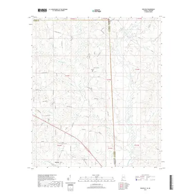
2018 Map of Earlville
USGS Topo · Published 2018About this map
The Escatawpa River winds southward through this rural borderland between Alabama and Mississippi, where thick creek networks carve the landscape into a series of ridges and bottoms. Along the western edge near the George County line, the community of Shipman sits near the Shipman Cem and Mount Olive Cem, connected by local routes like Old Mobile Hwy. Small family settlements and homesteads are evident throughout the quadrangle, linked by a dense grid of named roads such as Dickerson Sawmill Rd and Havens Dairy RD, which point to the area's history of timber and dairy agriculture.
Find a feature on this map
74 named features on this map. Tap any name to fly to it.
Don’t see what you’re looking for? This feature index may not catch every label — zoom into the map to look around manually.
Map Details
Editions of this 2018 Earlville Map
This is the sole edition of this map. No revisions or reprints were ever made.
Other maps of this area

1941 · Lucedale
USGS Topo · 1:62,500

1942 · Deer Park
USGS Topo · 1:62,500

1942 · Wilmer
USGS Topo · 1:62,500

1943 · Lucedale
USGS Topo · 1:62,500

1943 · Deer Park
USGS Topo · 1:62,500

1944 · Wilmer
USGS Topo · 1:62,500

1953 · Hattiesburg
USGS Topo · 1:250,000

1953 · Mobile
USGS Topo · 1:250,000

1957 · Mobile
USGS Topo · 1:250,000

1958 · Hattiesburg
USGS Topo · 1:250,000