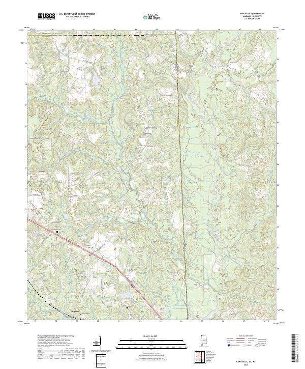
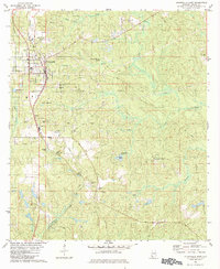
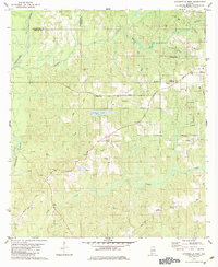
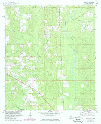
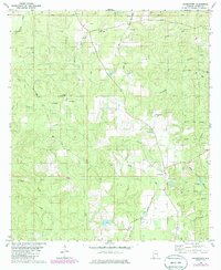
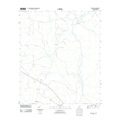
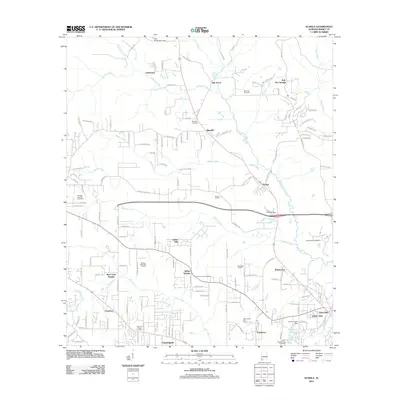
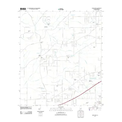
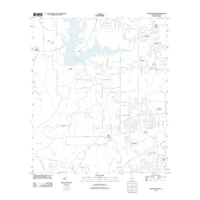
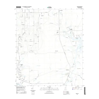
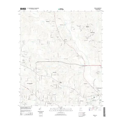
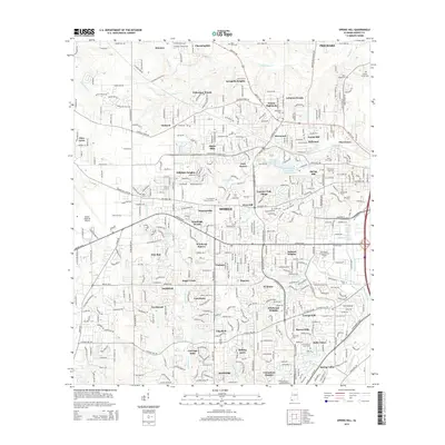
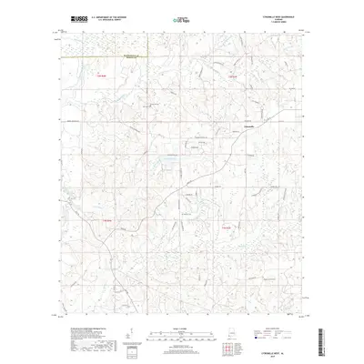
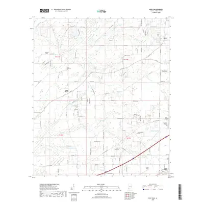
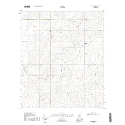
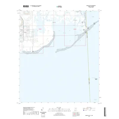
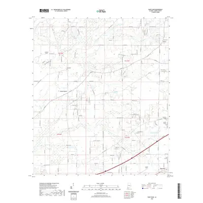
2024 Map of Earlville
USGS Topo · Published 2024About this map
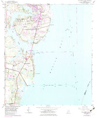
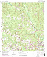
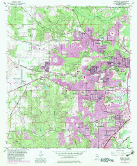
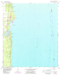
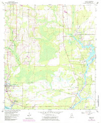
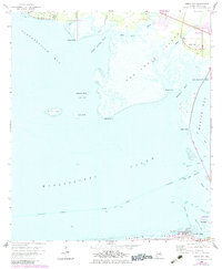
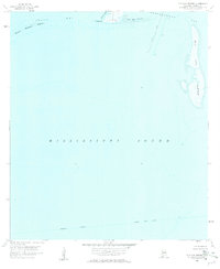
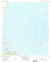
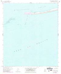
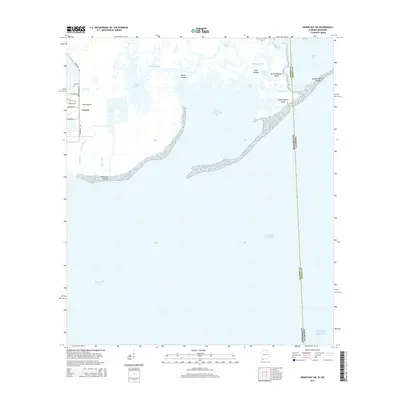
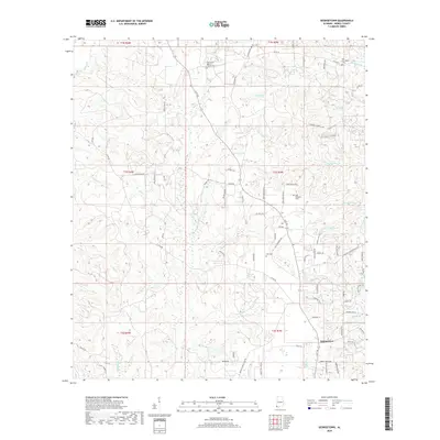
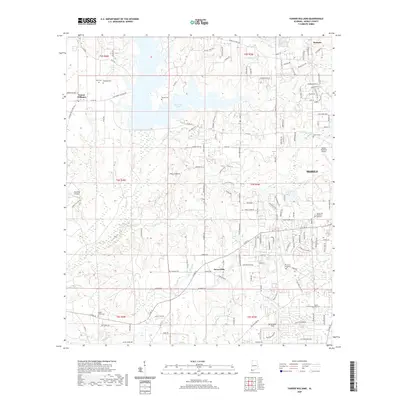
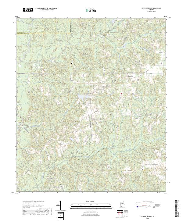
The Escatawpa River defines the landscape of this border region, winding south through the state line between Alabama and Mississippi. This rural territory is characterized by a dense network of timber and farm roads, such as Dickerson Sawmill Rd and Havens Dairy Rd, reflecting the area's agricultural and logging heritage. Small community clusters and family burial grounds are scattered throughout the piney woods, including Macedonia Cem and Oak Grove Cem.
Find a feature on this map
88 named features on this map. Tap any name to fly to it.
Don’t see what you’re looking for? This feature index may not catch every label — zoom into the map to look around manually.
Map Details
Editions of this 2024 Earlville Map
This is the sole edition of this map. No revisions or reprints were ever made.
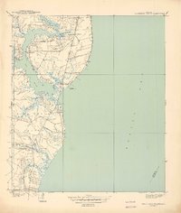
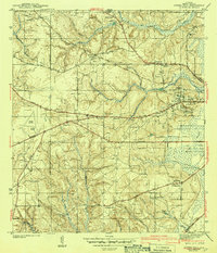
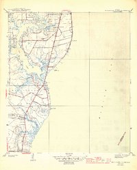
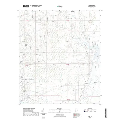
Historical Maps of Earlville Through Time
112 maps found

1921 Delchamps
Mobile County, AL
1940 Hollingers Island
Mobile County, AL

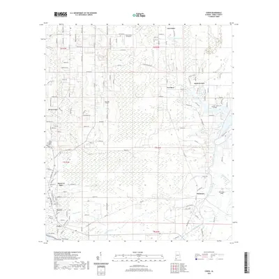
1941 Cedar Point
Mobile County, AL

1942 Kushla
Mobile County, AL

1942 Wilmer
Mobile County, AL

1943 Cedar Point
Mobile County, AL
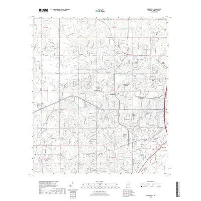
1943 Spring Hill
Mobile County, AL
1944 Hollingers Island
Mobile County, AL

1944 Wilmer
Mobile County, AL
1953 Hollingers Island
Mobile County, AL
1953 Kushla
Mobile County, AL
1953 Spring Hill
Mobile County, AL
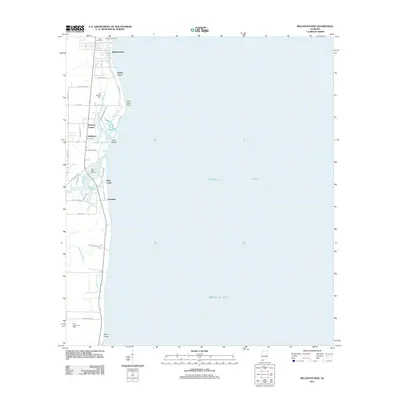
1956 Bellefontaine
Mobile County, AL
1956 Coden
Mobile County, AL
1957 St. Elmo
Mobile County, AL
1957 Tanner Williams
Mobile County, AL
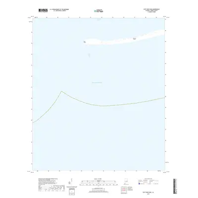
1958 Fort Morgan NW
Mobile County, AL
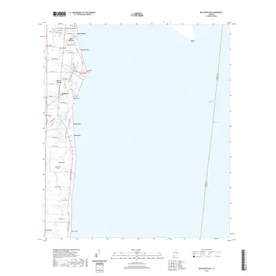
1958 Heron Bay
Mobile County, AL
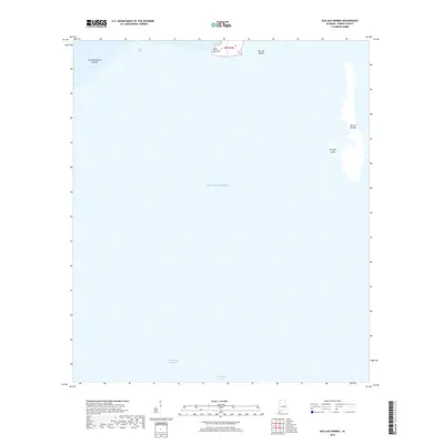
1958 Isle Aux Herbes
Mobile County, AL
1958 Little Dauphin Island
Mobile County, AL
1958 Petit Bois Pass
Mobile County, AL
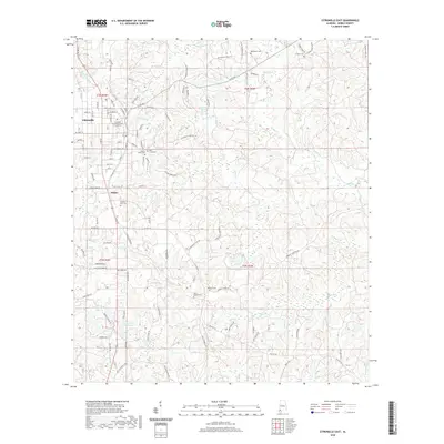
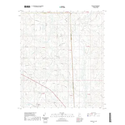
1982 Citronelle East
Mobile County, AL
1982 Citronelle West
Mobile County, AL
1982 Earlville
Mobile County, AL
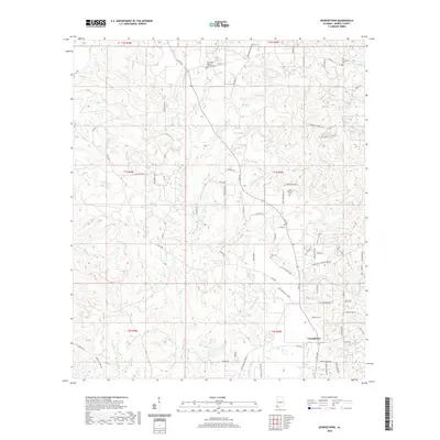
1982 Georgetown
Mobile County, AL
2011 Bellefontaine
Mobile County, AL
2011 Citronelle East
Mobile County, AL
2011 Citronelle West
Mobile County, AL
2011 Coden
Mobile County, AL
2011 Earlville
Mobile County, AL
2011 Fort Morgan NW
Mobile County, AL
2011 Georgetown
Mobile County, AL
2011 Grand Bay SW
Mobile County, AL
2011 Heron Bay
Mobile County, AL
2011 Hollingers Island
Mobile County, AL
2011 Isle aux Herbes
Mobile County, AL
2011 Kushla
Mobile County, AL
2011 Little Dauphin Island
Mobile County, AL
2011 Petit Bois Pass
Mobile County, AL
2011 Saint Elmo
Mobile County, AL
2011 Spring Hill
Mobile County, AL
2011 Tanner Williams
Mobile County, AL
2014 Bellefontaine
Mobile County, AL
2014 Citronelle East
Mobile County, AL
2014 Citronelle West
Mobile County, AL
2014 Coden
Mobile County, AL
2014 Earlville
Mobile County, AL
2014 Fort Morgan NW
Mobile County, AL
2014 Georgetown
Mobile County, AL
2014 Grand Bay SW
Mobile County, AL
2014 Heron Bay
Mobile County, AL
2014 Hollingers Island
Mobile County, AL
2014 Isle aux Herbes
Mobile County, AL
2014 Kushla
Mobile County, AL
2014 Little Dauphin Island
Mobile County, AL
2014 Petit Bois Pass
Mobile County, AL
2014 Saint Elmo
Mobile County, AL
2014 Spring Hill
Mobile County, AL
2014 Tanner Williams
Mobile County, AL
2018 Bellefontaine
Mobile County, AL
2018 Citronelle East
Mobile County, AL
2018 Citronelle West
Mobile County, AL
2018 Coden
Mobile County, AL
2018 Earlville
Mobile County, AL
2018 Fort Morgan NW
Mobile County, AL
2018 Georgetown
Mobile County, AL
2018 Grand Bay SW
Mobile County, AL
2018 Heron Bay
Mobile County, AL
2018 Hollingers Island
Mobile County, AL
2018 Isle aux Herbes
Mobile County, AL
2018 Kushla
Mobile County, AL
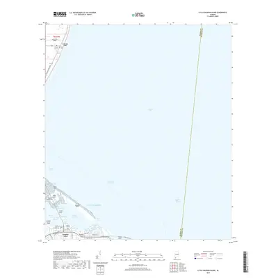
2018 Little Dauphin Island
Mobile County, AL
2018 Petit Bois Pass
Mobile County, AL
2018 Saint Elmo
Mobile County, AL
2018 Spring Hill
Mobile County, AL

2018 Tanner Williams
Mobile County, AL
2020 Bellefontaine
Mobile County, AL
2020 Citronelle East
Mobile County, AL
2020 Citronelle West
Mobile County, AL
2020 Coden
Mobile County, AL
2020 Earlville
Mobile County, AL
2020 Georgetown
Mobile County, AL
2020 Grand Bay SW
Mobile County, AL
2020 Heron Bay
Mobile County, AL

2020 Hollingers Island
Mobile County, AL
2020 Isle aux Herbes
Mobile County, AL
2020 Kushla
Mobile County, AL
2020 Little Dauphin Island
Mobile County, AL
2020 Petit Bois Pass
Mobile County, AL
2020 Saint Elmo
Mobile County, AL
2020 Spring Hill
Mobile County, AL
2020 Tanner Williams
Mobile County, AL
2021 Fort Morgan NW
Mobile County, AL
2024 Bellefontaine
Mobile County, AL
2024 Citronelle East
Mobile County, AL
2024 Citronelle West
Mobile County, AL

2024 Coden
Mobile County, AL
2024 Earlville
Mobile County, AL
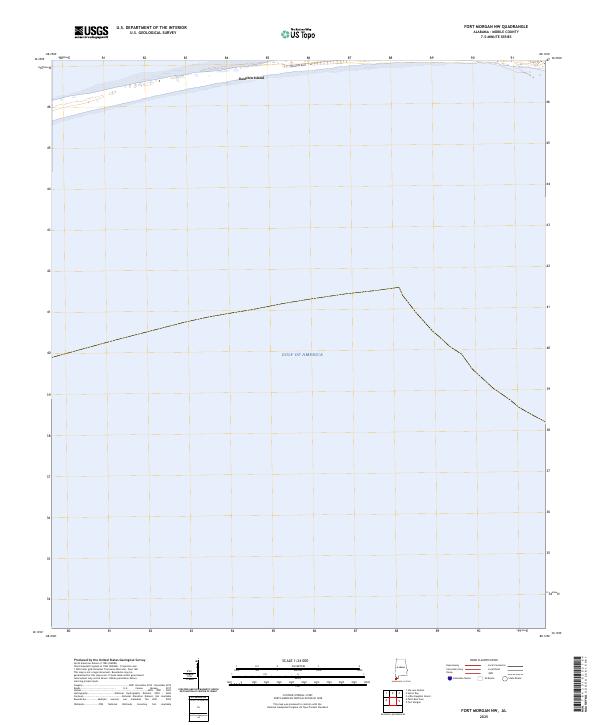
2024 Fort Morgan NW
Mobile County, AL
2024 Georgetown
Mobile County, AL
2024 Grand Bay SW
Mobile County, AL
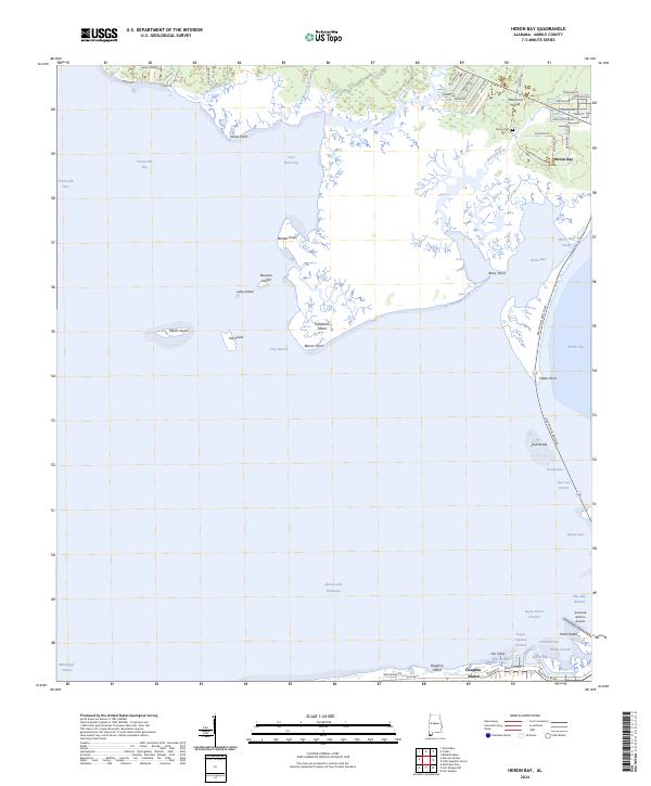
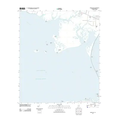
2024 Heron Bay
Mobile County, AL
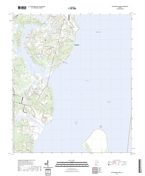
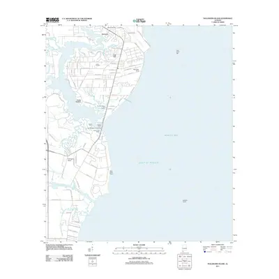
2024 Hollingers Island
Mobile County, AL
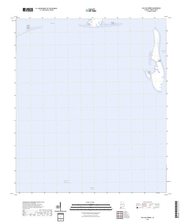
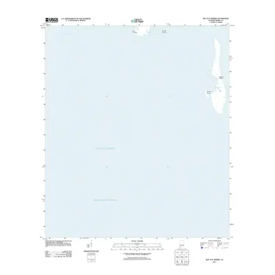
2024 Isle aux Herbes
Mobile County, AL

2024 Kushla
Mobile County, AL
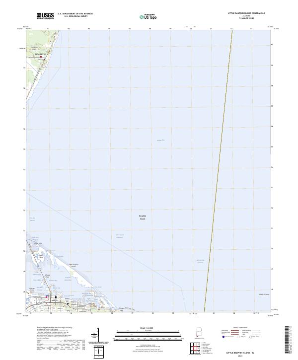
2024 Little Dauphin Island
Mobile County, AL
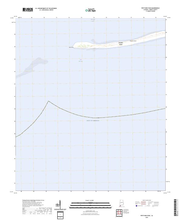
2024 Petit Bois Pass
Mobile County, AL
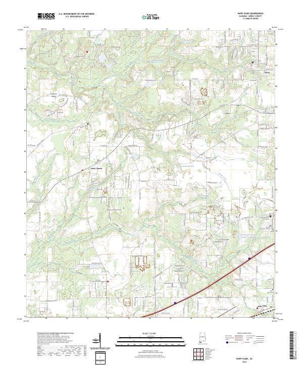
2024 Saint Elmo
Mobile County, AL
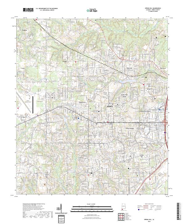
2024 Spring Hill
Mobile County, AL
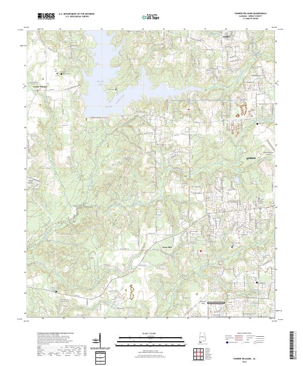
2024 Tanner Williams
Mobile County, AL
2025 Fort Morgan NW
Mobile County, AL
2025 Petit Bois Pass
Mobile County, AL