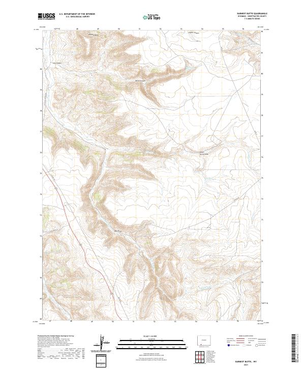
2021 Map of Earnest Butte
USGS Topo · Published 2021About this map
Earnest Butte dominates the northern horizon of this high-desert landscape in Sweetwater County, where complex drainages and canyons define the topography. The intermittent waters of Little Bitter Cr meander through the central and western portions of the quadrangle, carving out a series of landmarks including Sally Draw and the deeper recesses of Dry Canyon and Burnt Canyon. These features illustrate the erosion patterns characteristic of the Wyoming basin floor. In the eastern reaches, the terrain shifts toward South Spring Draw, a significant geographical depression supported by the presence of South Spring. Access to this remote environment is provided by a thin network of unimproved tracks, most notably Little Bitter Creek Rd, which traces the western edge of the butte and its surrounding canyons.
Find a feature on this map
13 named features on this map. Tap any name to fly to it.
Don’t see what you’re looking for? This feature index may not catch every label — zoom into the map to look around manually.
Map Details
Editions of this 2021 Earnest Butte Map
This is the sole edition of this map. No revisions or reprints were ever made.
Other maps of this area

1954 · Rock Springs
USGS Topo · 1:250,000

1957 · Currant Creek Ranch
USGS Topo · 1:62,500

1957 · Firehole Basin
USGS Topo · 1:62,500

1958 · Rock Springs
USGS Topo · 1:250,000

1962 · Rock Springs
USGS Topo · 1:250,000
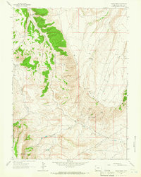
1963 · Maxon Ranch
USGS Topo · 1:24,000
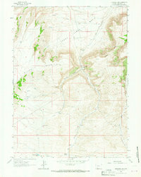
1963 · Titsworth Gap
USGS Topo · 1:24,000

1966 · Firehole Basin
USGS Topo · 1:62,500

1966 · Currant Creek Ranch
USGS Topo · 1:62,500
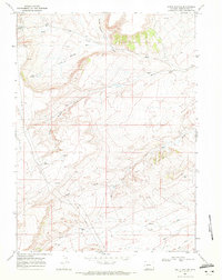
1968 · South Baxter
USGS Topo · 1:24,000