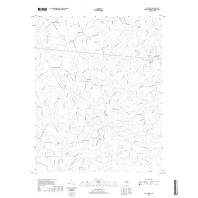
2019 Map of East Bend
USGS Topo · Published 2019About this map
East Bend and the surrounding rural landscape of Yadkin County are defined by a network of small creeks and community burial grounds. The map reveals a cluster of settlements including Richmond Hill, Smithtown, and Forbush, many of which grew around crossroads and local churches. The drainage patterns of Forbush Cr, Logan Cr, and Fall Cr dictate the topography of the region, creating a varied landscape of ridges and lowlands that has influenced local road development.
Find a feature on this map
137 named features on this map. Tap any name to fly to it.
Don’t see what you’re looking for? This feature index may not catch every label — zoom into the map to look around manually.
Map Details
Editions of this 2019 East Bend Map
This is the sole edition of this map. No revisions or reprints were ever made.
Other maps of this area

1891 · Yadkinville
USGS Topo · 1:125,000

1893 · Yadkinville
USGS Topo · 1:125,000

1953 · Winston-Salem
USGS Topo · 1:250,000

1955 · Winston-Salem
USGS Topo · 1:250,000

1962 · Winston-Salem
USGS Topo · 1:250,000

1964 · Pinnacle
USGS Topo · 1:24,000
1966 · Farmington
USGS Topo · 1:24,000
1966 · Lone Hickory
USGS Topo · 1:24,000

1966 · Yadkinville
USGS Topo · 1:24,000

1966 · East Bend
USGS Topo · 1:24,000