
1966 Map of East Bend
USGS Topo · Published 1967About this map
The community of East Bend serves as a primary hub in this mid-1960s survey of Yadkin County, where a dense network of country churches and schools defines the social geography. Small settlements like Smithtown, Richmond Hill, and Baltimore are connected by local routes such as Richmond Hill Road and Baltimore Road, illustrating a rural landscape built around crossroads and faith centers. The terrain is deeply carved by watercourses, including the winding Forbush Creek and its tributary Little Forbush Creek, alongside Deep Creek and Fall Creek. Genealogists will find significant value in the detailed placement of religious landmarks such as the Hall Creek Tabernacle, Patterson Grove Ch, and Mt Carmel Ch, as well as the Fall Creek Sch. The presence of several cemeteries and the Old U.S. 421 corridor reflects the era's transition between traditional local life and increasing regional connectivity.
Find a feature on this map
40 named features on this map. Tap any name to fly to it.
Don’t see what you’re looking for? This feature index may not catch every label — zoom into the map to look around manually.
Map Details
Editions of this 1966 East Bend Map
This is the sole edition of this map. No revisions or reprints were ever made.
Other maps of this area

1891 · Yadkinville
USGS Topo · 1:125,000

1893 · Yadkinville
USGS Topo · 1:125,000

1953 · Winston-Salem
USGS Topo · 1:250,000

1955 · Winston-Salem
USGS Topo · 1:250,000

1962 · Winston-Salem
USGS Topo · 1:250,000

1964 · Pinnacle
USGS Topo · 1:24,000
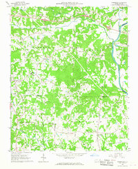
1966 · Farmington
USGS Topo · 1:24,000
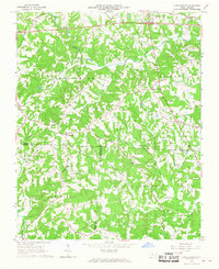
1966 · Lone Hickory
USGS Topo · 1:24,000

1966 · Yadkinville
USGS Topo · 1:24,000
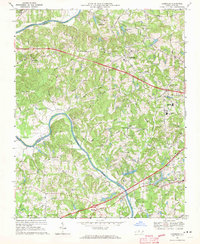
1968 · Clemmons
USGS Topo · 1:24,000