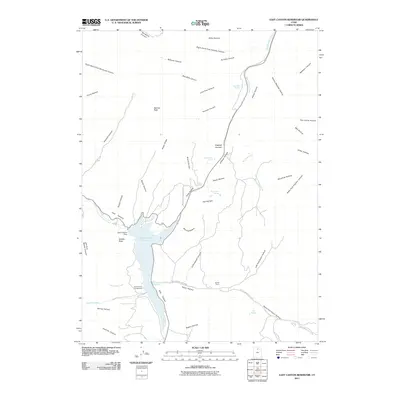
2011 Map of East Canyon Reservoir
USGS Topo · Published 2011About this map
East Canyon Reservoir dominates the drainage basin of East Canyon Creek in this 2011 survey of Summit County. The map details the infrastructure of the East Canyon Dam and the recreational development within East Canyon State Park, including the East Canyon Campground. Of particular interest to local historians is the Broad Hollow Pioneer Tr and the solitary landmark of Grants Grave located south of Cottonwood Canyon. The terrain is characterized by a complex network of named draws and summits, from Redrock Peak in the west to the high points of Hogback Summit. Numerous water sources are documented throughout the high country, such as Dixie Hollow Springs, Jack Beard Spring, and Tom Porter Springs, providing a detailed look at the hydrology of the Wasatch Range foothills.
Find a feature on this map
57 named features on this map. Tap any name to fly to it.
Don’t see what you’re looking for? This feature index may not catch every label — zoom into the map to look around manually.
Map Details
Editions of this 2011 East Canyon Reservoir Map
This is the sole edition of this map. No revisions or reprints were ever made.
Other maps of this area

1885 · Salt Lake
USGS Topo · 1:250,000

1900 · Coalville
USGS Topo · 1:125,000

1903 · Coalville
USGS Topo · 1:125,000

1925 · Ft. Douglas
USGS Topo · 1:125,000

1928 · Ft. Douglas
USGS Topo · 1:125,000

1954 · Salt Lake City
USGS Topo · 1:250,000

1954 · Ogden
USGS Topo · 1:250,000

1958 · Ogden
USGS Topo · 1:250,000

1958 · Salt Lake City
USGS Topo · 1:250,000

1960 · Ogden
USGS Topo · 1:250,000