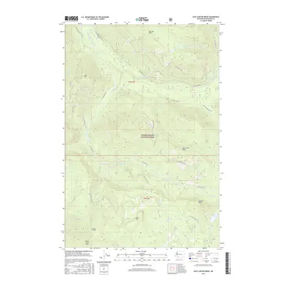
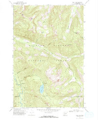
2017 Map of East Canyon Ridge
USGS Topo · Published 2017About this map
Gifford Pinchot National Forest dominates this landscape in the southern Cascade Range, where the Cispus River carves through high country defined by prominent elevations like Blue Lake Ridge and East Canyon Ridge. This area within Skamania County serves as a significant drainage basin, with numerous named watercourses such as Adams Cr, Quartz Cr, and Squaw Cr feeding into the larger river system. The presence of Council Lake and the open expanse of Summit Prairie provide distinct navigational points amidst the dense forest. An extensive network of National Forest development roads, including Nat For Dev RD 23 and Nat For Dev RD 21, traces the contours of the land, providing access to landmarks such as Council Bluff and Table Mtn.
Find a feature on this map
40 named features on this map. Tap any name to fly to it.
Don’t see what you’re looking for? This feature index may not catch every label — zoom into the map to look around manually.
Map Details
Editions of this 2017 East Canyon Ridge Map
This is the sole edition of this map. No revisions or reprints were ever made.
Other maps of this area
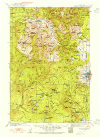
1926 · Steamboat Mtn
USGS Topo · 1:125,000
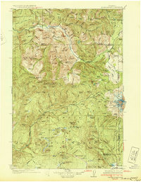
1931 · Steamboat Mtn
USGS Topo · 1:125,000

1950 · Yakima
USGS Topo · 1:250,000

1958 · Yakima
USGS Topo · 1:250,000
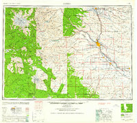
1961 · Yakima
USGS Topo · 1:250,000
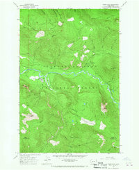
1965 · Tower Rock
USGS Topo · 1:24,000
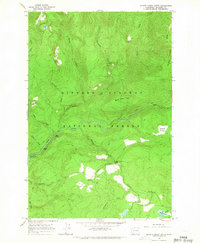
1965 · Quartz Creek Butte
USGS Topo · 1:24,000
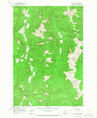
1965 · Mc Coy Peak
USGS Topo · 1:24,000
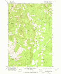
1970 · Hamilton Buttes
USGS Topo · 1:24,000
1970 · Blue Lake
USGS Topo · 1:24,000