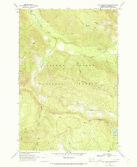
1970 Map of East Canyon Ridge
USGS Topo · Published 1973About this map
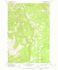
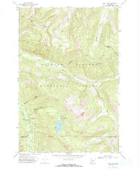
The Cispus River valley carves through this portion of the Gifford Pinchot National Forest in Skamania County, defined by its network of backcountry trails and high ridges. By the early 1970s, the landscape was managed for recreation and forestry, featuring sites like the Adams Fork Campground and a fire Lookout at Summit Prairie. The topography is dominated by massive features such as East Canyon Ridge and Table Mtn, which separate the various drainages of East Canyon Creek and Quartz Creek. High-elevation water bodies like Blue Lake, Mouse Lake, and Council Lake provide localized points of interest in a terrain otherwise characterized by steep elevation changes and a labyrinth of namesake waterways including Adams Creek and Orr Creek. A detailed network of Pack Trails and the Jeep Trail suggests the era's reliance on primitive access routes for forest management and local exploration.
Find a feature on this map
33 named features on this map. Tap any name to fly to it.
Don’t see what you’re looking for? This feature index may not catch every label — zoom into the map to look around manually.
Map Details
Editions of this 1970 East Canyon Ridge Map
This is the sole edition of this map. No revisions or reprints were ever made.
Other maps of this area

1926 · Steamboat Mtn
USGS Topo · 1:125,000

1931 · Steamboat Mtn
USGS Topo · 1:125,000

1950 · Yakima
USGS Topo · 1:250,000

1958 · Yakima
USGS Topo · 1:250,000

1961 · Yakima
USGS Topo · 1:250,000
1965 · Tower Rock
USGS Topo · 1:24,000
1965 · Quartz Creek Butte
USGS Topo · 1:24,000
1965 · Mc Coy Peak
USGS Topo · 1:24,000
1970 · Hamilton Buttes
USGS Topo · 1:24,000
1970 · Blue Lake
USGS Topo · 1:24,000