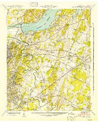
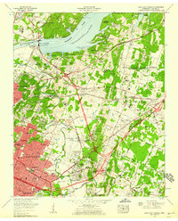
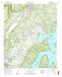
1942 Map of East Chattanooga
USGS Topo · Published 1942This historical map portrays the area of East Chattanooga in 1942, primarily covering Hamilton County. Featuring a scale of 1:24000, this map provides a highly detailed snapshot of the terrain, roads, buildings, counties, and historical landmarks in the East Chattanooga region at the time. Published in 1942, it is one of 2 known editions of this map due to revisions or reprints.
Find a feature on this map
90 named features on this map. Tap any name to fly to it.
Don’t see what you’re looking for? This feature index may not catch every label — zoom into the map to look around manually.
Map Details
Editions of this 1942 East Chattanooga Map
2 editions found
Historical Maps of East Chattanooga Through Time
25 maps found
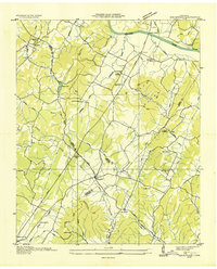
1935 Birchwood
Hamilton County, TN
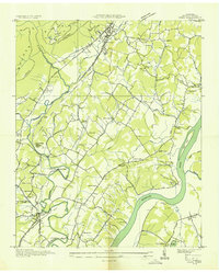
1935 Daisy
Hamilton County, TN
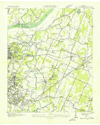
1935 East Chattanooga
Hamilton County, TN
1935 Snow Hill
Hamilton County, TN
1935 Soddy
Hamilton County, TN
1935 Soddy Island
Hamilton County, TN
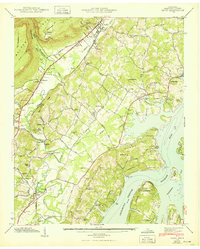
1939 Soddy Island
Hamilton County, TN
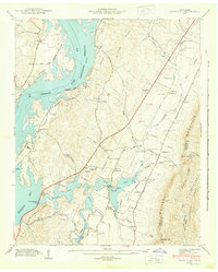
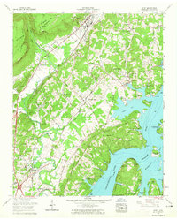
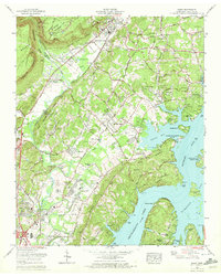
1942 Birchwood
Hamilton County, TN
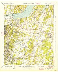
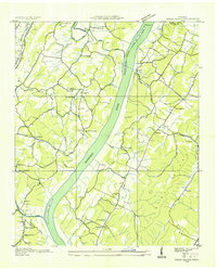
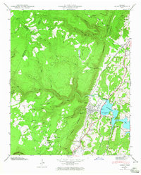
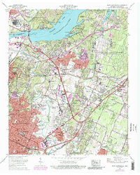
1942 East Chattanooga
Hamilton County, TN
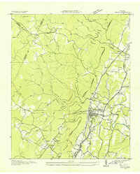
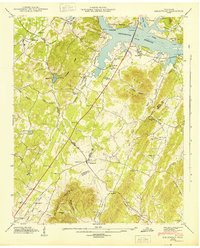
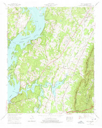
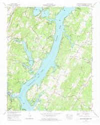
1942 Snow Hill
Hamilton County, TN
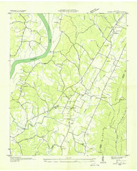
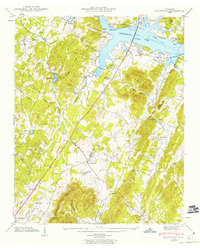
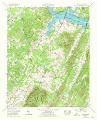
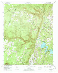
1943 Birchwood
Hamilton County, TN
1943 Daisy
Hamilton County, TN
1943 Snow Hill
Hamilton County, TN
1946 Soddy
Hamilton County, TN
1947 Soddy
Hamilton County, TN
1958 Daisy
Hamilton County, TN
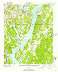
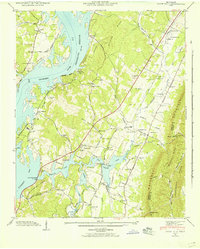
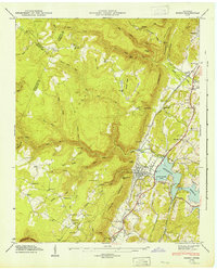
1958 East Chattanooga
Hamilton County, TN
1964 Snow Hill
Hamilton County, TN
1967 Birchwood
Hamilton County, TN
1969 Daisy
Hamilton County, TN
1969 East Chattanooga
Hamilton County, TN
1972 Grasshopper Creek
Hamilton County, TN
1972 Soddy
Hamilton County, TN
1976 Daisy
Hamilton County, TN
1980 Snow Hill
Hamilton County, TN
Featured Locations
- Chattanooga, TN
- East Ridge, TN
- Cherokee Woods, Chattanooga
- Kings Point, Chattanooga
- Rollingwood, Chattanooga