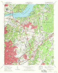
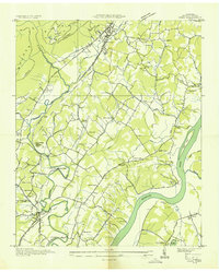
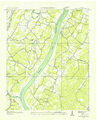
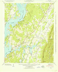
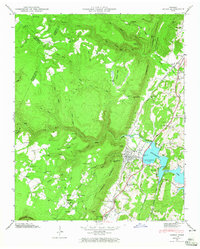
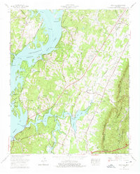
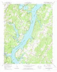
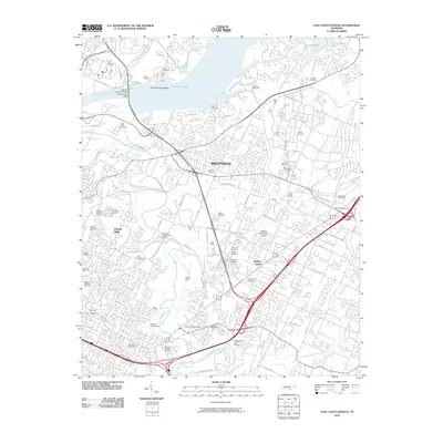
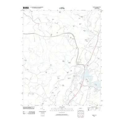
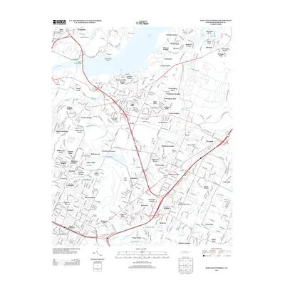
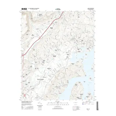
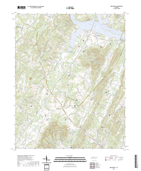
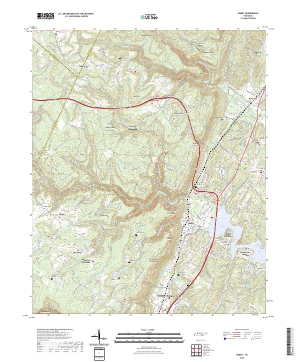
1969 Map of East Chattanooga
USGS Topo · Published 1973About this map
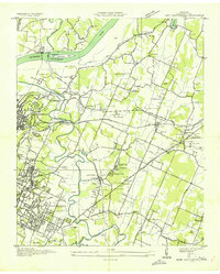
Chickamauga Lake and the Tennessee River dominate the northern landscape of this 1969 survey, where industrial and military footprints intersect with growing suburban developments. The massive Volunteer Army Ammunition Plant occupies a significant portion of the eastern territory, while the Chattanooga Municipal Airport serves as a central aviation hub. Local infrastructure is defined by the Chickamauga Dam and the Wilkes T Thrasher Bridge, which facilitate movement between northern communities like Hamillville and the metropolitan expansion of Chattanooga.
Find a feature on this map
134 named features on this map. Tap any name to fly to it.
Don’t see what you’re looking for? This feature index may not catch every label — zoom into the map to look around manually.
Map Details
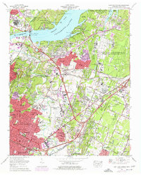
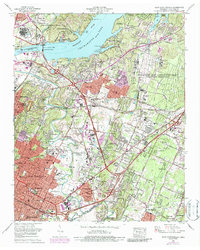
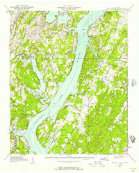
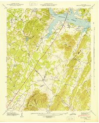
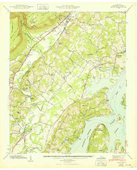
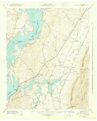
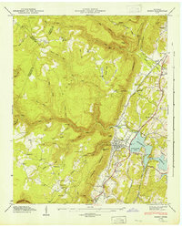
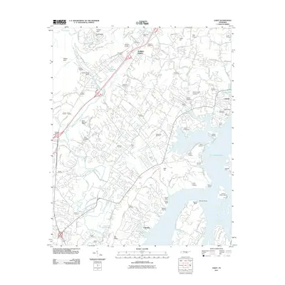
Editions of this 1969 East Chattanooga Map
5 editions found

Historical Maps of Chattanooga Through Time
55 maps found
1935 Birchwood
Hamilton County, TN
1935 Daisy
Hamilton County, TN
1935 East Chattanooga
Hamilton County, TN
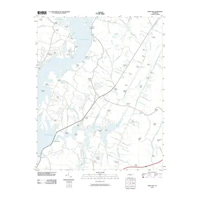
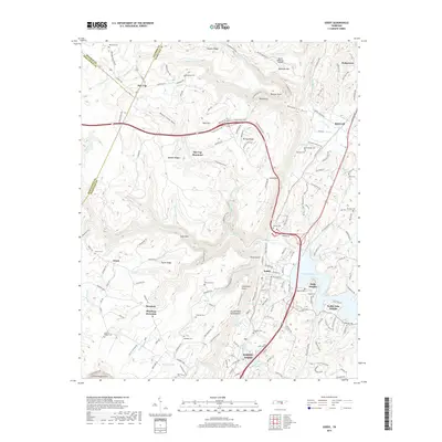
1935 Snow Hill
Hamilton County, TN
1935 Soddy
Hamilton County, TN
1935 Soddy Island
Hamilton County, TN
1939 Soddy Island
Hamilton County, TN
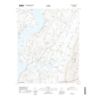
1942 Birchwood
Hamilton County, TN
1942 East Chattanooga
Hamilton County, TN
1942 Snow Hill
Hamilton County, TN
1943 Birchwood
Hamilton County, TN
1943 Daisy
Hamilton County, TN
1943 Snow Hill
Hamilton County, TN
1946 Soddy
Hamilton County, TN
1947 Soddy
Hamilton County, TN
1958 Daisy
Hamilton County, TN
1958 East Chattanooga
Hamilton County, TN
1964 Snow Hill
Hamilton County, TN
1967 Birchwood
Hamilton County, TN
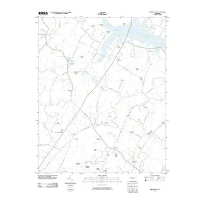
1969 Daisy
Hamilton County, TN
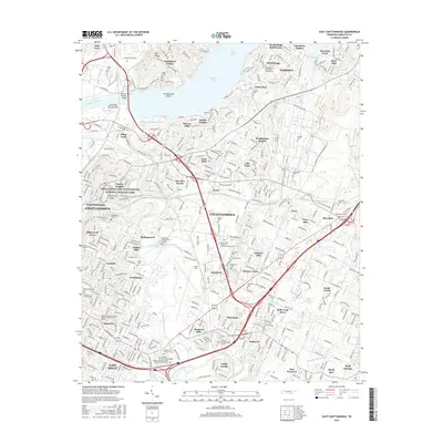
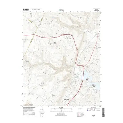
1969 East Chattanooga
Hamilton County, TN
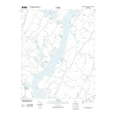
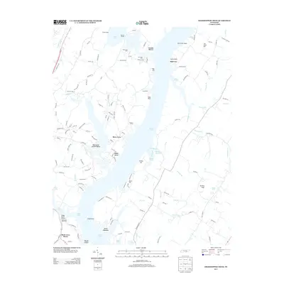
1972 Grasshopper Creek
Hamilton County, TN
1972 Soddy
Hamilton County, TN
1976 Daisy
Hamilton County, TN
1980 Snow Hill
Hamilton County, TN
2010 Birchwood
Hamilton County, TN
2010 East Chattanooga
Hamilton County, TN
2010 Grasshopper Creek
Hamilton County, TN
2010 Snow Hill
Hamilton County, TN
2010 Soddy
Hamilton County, TN
2011 Daisy
Hamilton County, TN
2013 Birchwood
Hamilton County, TN
2013 Daisy
Hamilton County, TN
2013 East Chattanooga
Hamilton County, TN
2013 Grasshopper Creek
Hamilton County, TN
2013 Snow Hill
Hamilton County, TN
2013 Soddy
Hamilton County, TN

2016 Birchwood
Hamilton County, TN
2016 Daisy
Hamilton County, TN
2016 East Chattanooga
Hamilton County, TN
2016 Grasshopper Creek
Hamilton County, TN
2016 Snow Hill
Hamilton County, TN
2016 Soddy
Hamilton County, TN
2019 Birchwood
Hamilton County, TN
2019 Daisy
Hamilton County, TN
2019 East Chattanooga
Hamilton County, TN
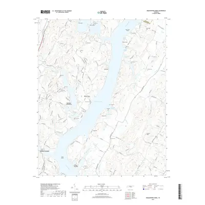
2019 Grasshopper Creek
Hamilton County, TN
2019 Snow Hill
Hamilton County, TN
2019 Soddy
Hamilton County, TN
2022 Birchwood
Hamilton County, TN
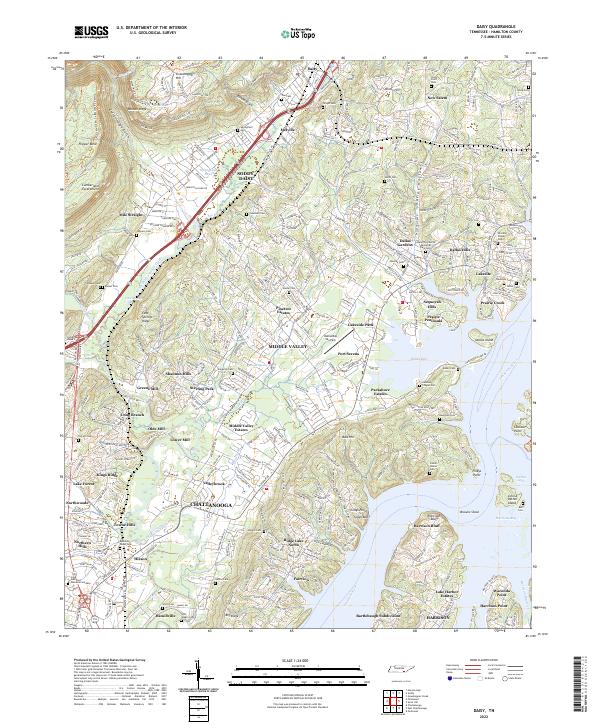
2022 Daisy
Hamilton County, TN
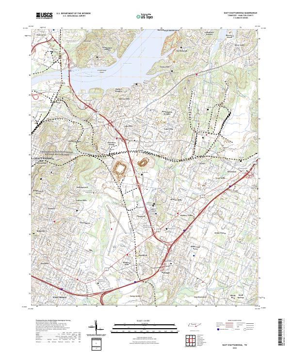
2022 East Chattanooga
Hamilton County, TN
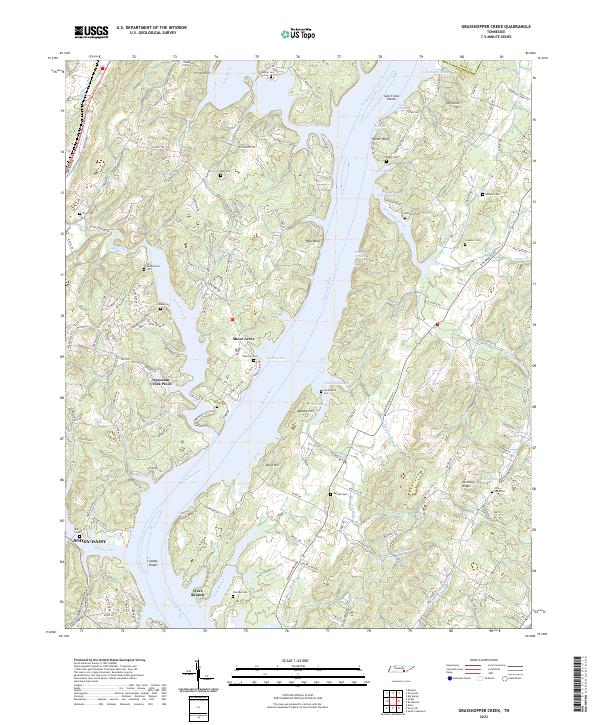
2022 Grasshopper Creek
Hamilton County, TN
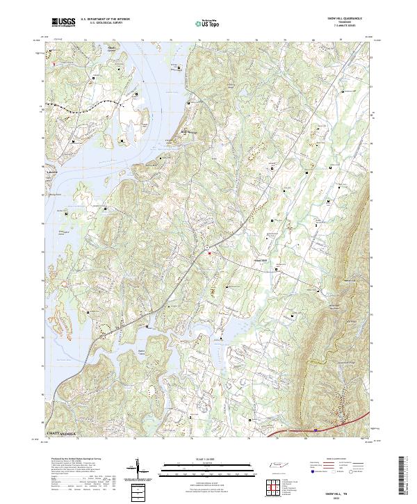
2022 Snow Hill
Hamilton County, TN
2022 Soddy
Hamilton County, TN
Featured Locations
- Chattanooga, TN
- East Ridge, TN
- Cherokee Woods, Chattanooga
- Kings Point, Chattanooga
- Rollingwood, Chattanooga