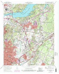
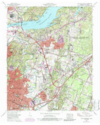
1969 Map of East Chattanooga
USGS Topo · Published 1987About this map
Chickamauga Dam stands as the central engineering feat of this Tennessee River landscape, regulating the waters of Chickamauga Lake and Nickajack Lake. The map reveals a suburbanizing region during the late 1960s, where established neighborhoods like Brainerd and Eastdale meet the massive industrial footprint of the Volunteer Army Ammunition Plant to the northeast. Transportation networks dominate the eastern valley, anchored by the Chattanooga Municipal Airport (Lovell Field) and the busy corridors of the Southern Railway and Louisville and Nashville Railroad.
Find a feature on this map
111 named features on this map. Tap any name to fly to it.
Don’t see what you’re looking for? This feature index may not catch every label — zoom into the map to look around manually.
Map Details
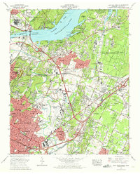
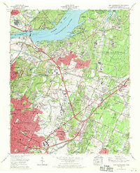
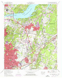
Editions of this 1969 East Chattanooga Map
5 editions found
Other maps of this area

1886 · Ringgold
USGS Topo · 1:125,000

1888 · Chattanooga
USGS Topo · 1:125,000

1892 · Ringgold
USGS Topo · 1:125,000

1893 · Chattanooga
USGS Topo · 1:125,000

1935 · East Chattanooga
USGS Topo · 1:24,000

1935 · Daisy
USGS Topo · 1:24,000

1935 · East Ridge
USGS Topo · 1:24,000

1935 · Ringgold
USGS Topo · 1:24,000

1935 · Snow Hill
USGS Topo · 1:24,000

1935 · Ooltewah
USGS Topo · 1:24,000
Featured Places
- Chattanooga, TN
- East Ridge, TN
- Rollingwood, Chattanooga
- Kings Point, Chattanooga
- Cherokee Woods, Chattanooga