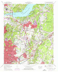
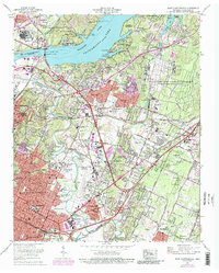
1969 Map of East Chattanooga
USGS Topo · Published 1977About this map
Chickamauga Dam stands as a centerpiece of the regional landscape, regulating the waters where Chickamauga Lake meets the beginning of Nickajack Lake along the Tennessee River. This era of the late 1960s and 1970s reveals a suburban landscape in transition, with residential developments like Lake Hills and Brainerd expanding near major infrastructure. The massive Volunteer Army Ammunition Plant occupies a significant portion of the eastern territory, while the Chattanooga Municipal Airport (Lovell Field) anchors the central valley. Transport networks are dominated by the Southern Railway and the Louisville and Nashville Railroad, which cut through established communities such as East Chattanooga and Silverdale. The presence of the Chickamauga and Chattanooga National Military Park and the Elise Chapin Wildlife Sanctuary highlights the intentional preservation of history and natural space amidst the growing metropolitan footprint.
Find a feature on this map
99 named features on this map. Tap any name to fly to it.
Don’t see what you’re looking for? This feature index may not catch every label — zoom into the map to look around manually.
Map Details
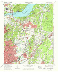
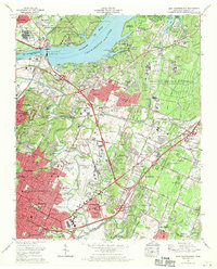
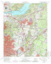
Editions of this 1969 East Chattanooga Map
5 editions found
Other maps of this area

1886 · Ringgold
USGS Topo · 1:125,000

1888 · Chattanooga
USGS Topo · 1:125,000

1892 · Ringgold
USGS Topo · 1:125,000

1893 · Chattanooga
USGS Topo · 1:125,000

1935 · East Chattanooga
USGS Topo · 1:24,000

1935 · Daisy
USGS Topo · 1:24,000

1935 · East Ridge
USGS Topo · 1:24,000

1935 · Ringgold
USGS Topo · 1:24,000

1935 · Snow Hill
USGS Topo · 1:24,000

1935 · Ooltewah
USGS Topo · 1:24,000
Featured Places
- Chattanooga, TN
- East Ridge, TN
- Rollingwood, Chattanooga
- Kings Point, Chattanooga
- Cherokee Woods, Chattanooga