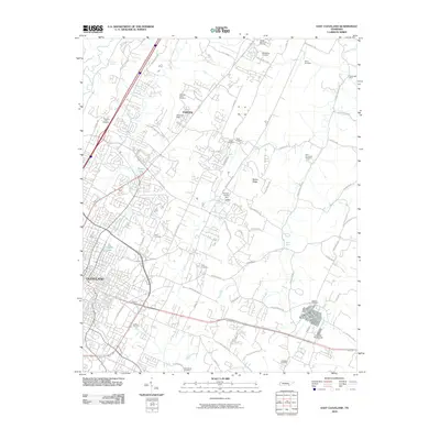
2010 Map of East Cleveland
USGS Topo · Published 2010About this map
The eastern edges of Cleveland and the community of Fairview define this landscape, where residential expansion meets the distinctive topography of Dry Valley and Beeler Ridge. This 2010 survey documents a transition from the urban density near the Cleveland Fairgrounds to more dispersed rural settlement patterns. The map is particularly rich for genealogists, recording over a dozen local burial sites including New Friendship Cemetery, Chestuee Cemetery, and the Eldredge Camp Cemetery.
Find a feature on this map
73 named features on this map. Tap any name to fly to it.
Don’t see what you’re looking for? This feature index may not catch every label — zoom into the map to look around manually.
Map Details
Editions of this 2010 East Cleveland Map
This is the sole edition of this map. No revisions or reprints were ever made.
Other maps of this area

1886 · Cleveland
USGS Topo · 1:125,000

1892 · Cleveland
USGS Topo · 1:125,000

1895 · Cleveland
USGS Topo · 1:125,000

1901 · Cleveland
USGS Topo · 1:125,000

1935 · East Cleveland
USGS Topo · 1:24,000

1935 · Mc Donald
USGS Topo · 1:24,000

1935 · Calhoun
USGS Topo · 1:24,000

1935 · Benton
USGS Topo · 1:24,000

1935 · Felker
USGS Topo · 1:24,000

1935 · Charleston
USGS Topo · 1:24,000