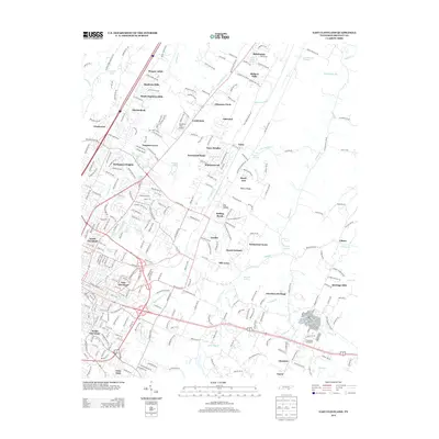
2013 Map of East Cleveland
USGS Topo · Published 2013About this map
East Cleveland and its surrounding residential developments dominate this 2013 landscape, showing a complex network of neighborhoods like Hooper Acres, Mapleton Hills, and Shenandoah. The area's aviation and recreation history is anchored by Hardwick Field Airport and the Cleveland Fairgrounds to the south. Moving away from the urban center, the terrain transitions into the distinct ridges and valleys of eastern Bradley County, where Beeler Ridge and Dry Valley frame a more rural character. Natural water sources are abundant, featuring named points such as Rattlesnake Spring, McKenzie Spring, and Richey Spring. Smaller unincorporated communities like Tasso and Climer sit along winding country roads, while significant waterways including Chatata Cr and Little Chatata Cr drain the eastern slopes. This era of the map documents the extensive suburban expansion of North Cleveland and South Cleveland before several of the local landmarks underwent modern changes.
Find a feature on this map
63 named features on this map. Tap any name to fly to it.
Don’t see what you’re looking for? This feature index may not catch every label — zoom into the map to look around manually.
Map Details
Editions of this 2013 East Cleveland Map
This is the sole edition of this map. No revisions or reprints were ever made.
Other maps of this area

1886 · Cleveland
USGS Topo · 1:125,000

1892 · Cleveland
USGS Topo · 1:125,000

1895 · Cleveland
USGS Topo · 1:125,000

1901 · Cleveland
USGS Topo · 1:125,000

1935 · East Cleveland
USGS Topo · 1:24,000

1935 · Mc Donald
USGS Topo · 1:24,000

1935 · Calhoun
USGS Topo · 1:24,000

1935 · Benton
USGS Topo · 1:24,000

1935 · Felker
USGS Topo · 1:24,000

1935 · Charleston
USGS Topo · 1:24,000