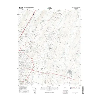
2016 Map of East Cleveland
USGS Topo · Published 2016About this map
Cleveland and its northeastern reaches are defined by a rhythmic topography of ridges and valleys, where the Tennessee Valley Divide separates local drainage. Residential growth is evident in suburban pockets like Sequoia Grove, Burlington Heights, and Rolling Brook, while the institutional presence of Lee University and the Church of God Theological Seminary anchors the urban core. The map documents a transition from the dense street grids of North Cleveland to the rural expanses of Dry Valley and Chatata Valley. Local history is preserved in numerous burial grounds such as Eldredge Camp Cem and Macedonia Cem, alongside prominent water sources like Hardwick Spring and Beeler Spring. This 2016 survey illustrates the modernization of Bradley County, marked by the expansive Cleveland Regional Jetport situated among the historic hills.
Find a feature on this map
246 named features on this map. Tap any name to fly to it.
Don’t see what you’re looking for? This feature index may not catch every label — zoom into the map to look around manually.
Map Details
Editions of this 2016 East Cleveland Map
This is the sole edition of this map. No revisions or reprints were ever made.
Other maps of this area

1886 · Cleveland
USGS Topo · 1:125,000

1892 · Cleveland
USGS Topo · 1:125,000

1895 · Cleveland
USGS Topo · 1:125,000

1901 · Cleveland
USGS Topo · 1:125,000

1935 · East Cleveland
USGS Topo · 1:24,000

1935 · Mc Donald
USGS Topo · 1:24,000

1935 · Calhoun
USGS Topo · 1:24,000

1935 · Benton
USGS Topo · 1:24,000

1935 · Felker
USGS Topo · 1:24,000

1935 · Charleston
USGS Topo · 1:24,000