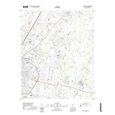
2019 Map of East Cleveland
USGS Topo · Published 2019About this map
Lee Univ and the Church of God Theological Seminary anchor the urban development of Cleveland, while the surrounding landscape reveals a complex network of ridgelines and creek valleys. The terrain is defined by the Tennessee Valley Divide and prominent features like Candies Creek Ridge and Mouse Creek Ridge, which separate the various settlements of North Cleveland and East Cleveland from the more rural outskirts. Numerous springs, including Richey Spring and Hardwick Spring, dot the valleys, indicating the area's natural water resources.
Find a feature on this map
58 named features on this map. Tap any name to fly to it.
Don’t see what you’re looking for? This feature index may not catch every label — zoom into the map to look around manually.
Map Details
Editions of this 2019 East Cleveland Map
This is the sole edition of this map. No revisions or reprints were ever made.
Other maps of this area

1886 · Cleveland
USGS Topo · 1:125,000

1892 · Cleveland
USGS Topo · 1:125,000

1895 · Cleveland
USGS Topo · 1:125,000

1901 · Cleveland
USGS Topo · 1:125,000

1935 · East Cleveland
USGS Topo · 1:24,000

1935 · Mc Donald
USGS Topo · 1:24,000

1935 · Calhoun
USGS Topo · 1:24,000

1935 · Benton
USGS Topo · 1:24,000

1935 · Felker
USGS Topo · 1:24,000

1935 · Charleston
USGS Topo · 1:24,000