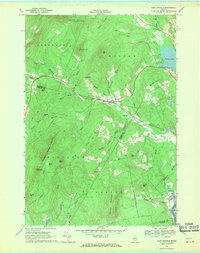
1968 Map of East Dixfield
USGS Topo · Published 1970About this map
The Franklin Co Oxford Co boundary divides this landscape, where the settlements of East Dixfield and Tainter Corner anchor the local road network. The terrain is defined by a series of family-named peaks and ridges, including Walker Hill, Science Hill, and Colonel Holman Mountain. This 1968 field-checked survey reveals a rural economy rooted in the valley of Sevenmile Stream, which winds past numerous small mountain brooks such as Potash Brook and Butterfield Brook.
Find a feature on this map
54 named features on this map. Tap any name to fly to it.
Don’t see what you’re looking for? This feature index may not catch every label — zoom into the map to look around manually.
Map Details
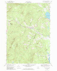
Editions of this 1968 East Dixfield Map
2 editions found
Other maps of this area

1910 · Livermore
USGS Topo · 1:62,500

1911 · Buckfield
USGS Topo · 1:62,500

1912 · Livermore
USGS Topo · 1:62,500

1913 · Buckfield
USGS Topo · 1:62,500

1924 · Farmington
USGS Topo · 1:62,500

1926 · Dixfield
USGS Topo · 1:62,500

1929 · Dixfield
USGS Topo · 1:62,500

1941 · Livermore
USGS Topo · 1:62,500

1942 · Buckfield
USGS Topo · 1:62,500

1950 · Lewiston
USGS Topo · 1:250,000