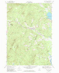
1968 Map of East Dixfield
USGS Topo · Published 1980About this map
The boundary between Franklin and Oxford counties bisects this landscape, where the settlement of East Dixfield serves as a central hub for the surrounding upland townships. The terrain is defined by a series of prominent peaks and ridges, including Colonel Holman Mountain, Nebo Mtn, and Browns Peak, which separate the various brook valleys that drain toward the Androscoggin River in the south and Wilson Pond in the northeast.
Find a feature on this map
76 named features on this map. Tap any name to fly to it.
Don’t see what you’re looking for? This feature index may not catch every label — zoom into the map to look around manually.
Map Details
Editions of this 1968 East Dixfield Map
2 editions found
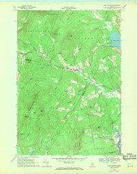
Other maps of this area

1910 · Livermore
USGS Topo · 1:62,500

1911 · Buckfield
USGS Topo · 1:62,500

1912 · Livermore
USGS Topo · 1:62,500

1913 · Buckfield
USGS Topo · 1:62,500

1924 · Farmington
USGS Topo · 1:62,500

1926 · Dixfield
USGS Topo · 1:62,500

1929 · Dixfield
USGS Topo · 1:62,500

1941 · Livermore
USGS Topo · 1:62,500

1942 · Buckfield
USGS Topo · 1:62,500

1950 · Lewiston
USGS Topo · 1:250,000