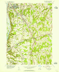
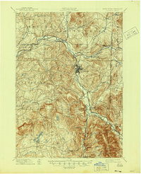
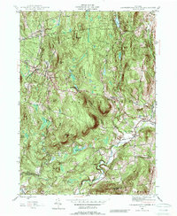
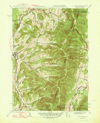
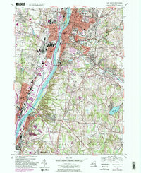
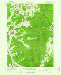
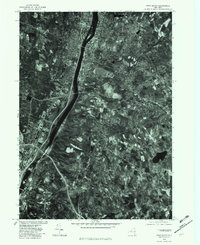
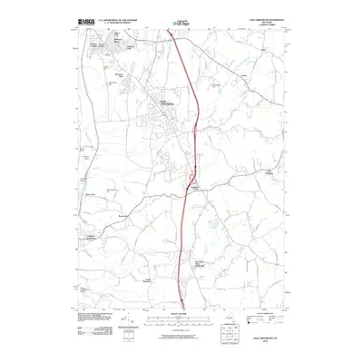
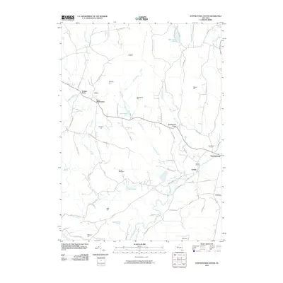
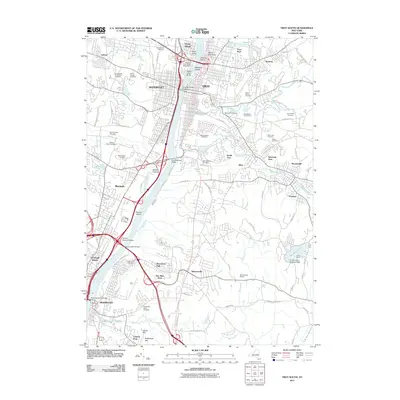
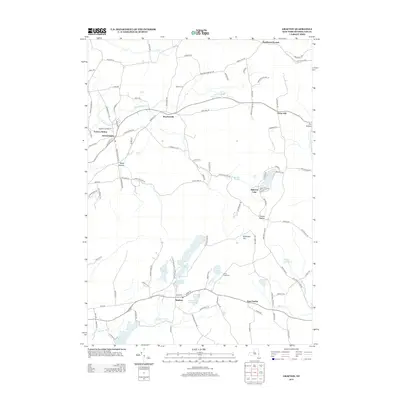
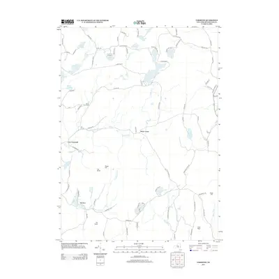
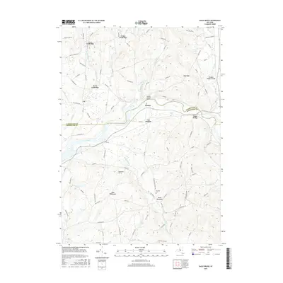
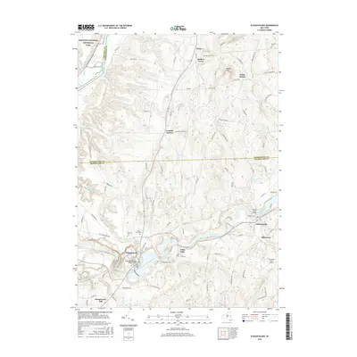
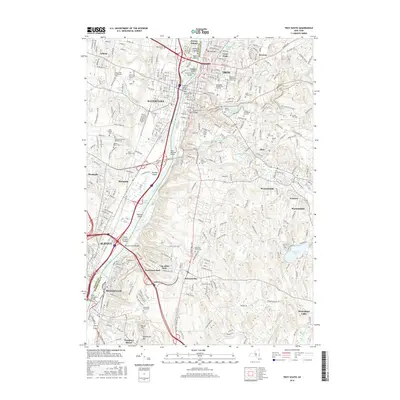
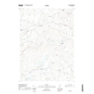
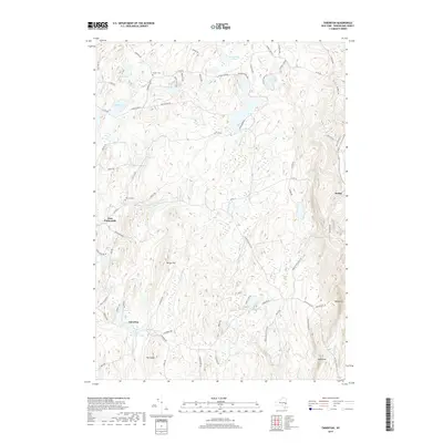
1953 Map of East Greenbush
USGS Topo · Published 1956About this map
The Hudson River's eastern shore and the expanding suburbs of Rensselaer County define this mid-century landscape. The New York Central railroad corridor hugs the riverbank, passing Papscanee Island and the village of Castleton-on-Hudson. Moving inland, the transition from industrial riverfront to residential developments is evident in neighborhoods like Clinton Heights, Hampton Park, and Sherwood Park. The influence of the postwar era is marked by the appearance of the Drive-in Theater and the East Greenbush Central Sch.
Find a feature on this map
39 named features on this map. Tap any name to fly to it.
Don’t see what you’re looking for? This feature index may not catch every label — zoom into the map to look around manually.
Map Details
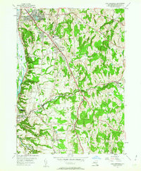
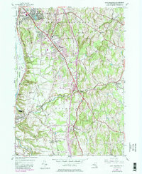
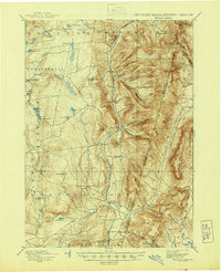
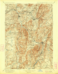
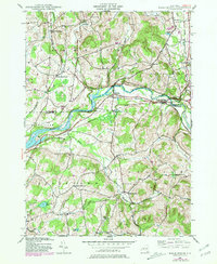
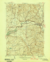
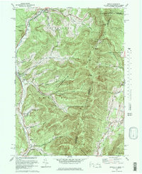
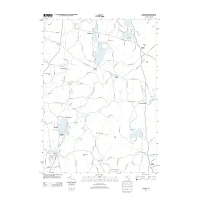
Editions of this 1953 East Greenbush Map
4 editions found
Historical Maps of East Greenbush Through Time
83 maps found
1888 Berlin
Rensselaer County, NY
1897 Hoosick
Rensselaer County, NY
1898 Berlin
Rensselaer County, NY
1900 Taconic
Rensselaer County, NY

1944 Berlin
Rensselaer County, NY
1944 Eagle Bridge
Rensselaer County, NY
1945 Stephentown Center
Rensselaer County, NY
1946 Eagle Bridge
Rensselaer County, NY
1946 Grafton
Rensselaer County, NY
1946 Taborton
Rensselaer County, NY

1947 Stephentown Center
Rensselaer County, NY
1948 Berlin
Rensselaer County, NY

1948 Stephentown Center
Rensselaer County, NY
1948 Taborton
Rensselaer County, NY

1950 Eagle Bridge
Rensselaer County, NY

1950 Taborton
Rensselaer County, NY
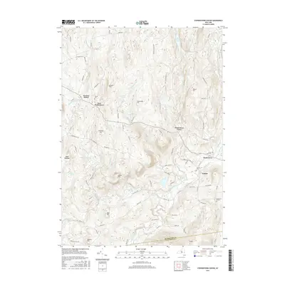
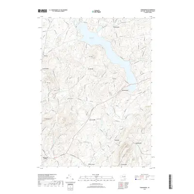
1953 East Greenbush
Rensselaer County, NY
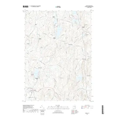
1953 Nassau
Rensselaer County, NY
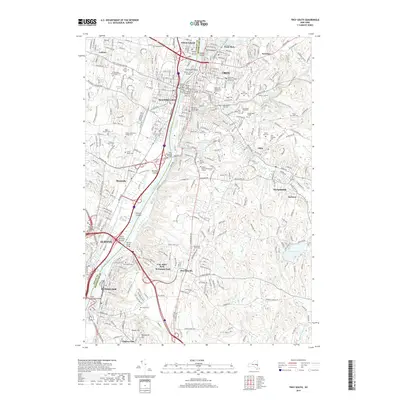
1953 Troy South
Rensselaer County, NY
1954 Grafton
Rensselaer County, NY
1954 Schaghticoke
Rensselaer County, NY
1954 Tomhannock
Rensselaer County, NY
1960 Berlin
Rensselaer County, NY
1973 Berlin
Rensselaer County, NY

1975 Berlin
Rensselaer County, NY
1978 East Greenbush
Rensselaer County, NY
1978 Grafton
Rensselaer County, NY
1978 Troy South
Rensselaer County, NY

1988 Berlin
Rensselaer County, NY

1988 Stephentown Center
Rensselaer County, NY
1997 Berlin
Rensselaer County, NY
1998 Berlin
Rensselaer County, NY

1998 Stephentown Center
Rensselaer County, NY
2010 Eagle Bridge
Rensselaer County, NY
2010 East Greenbush
Rensselaer County, NY
2010 Grafton
Rensselaer County, NY
2010 Nassau
Rensselaer County, NY
2010 Schaghticoke
Rensselaer County, NY
2010 Stephentown Center
Rensselaer County, NY
2010 Taborton
Rensselaer County, NY
2010 Tomhannock
Rensselaer County, NY
2011 Berlin
Rensselaer County, NY
2011 Troy South
Rensselaer County, NY
2013 Berlin
Rensselaer County, NY
2013 Eagle Bridge
Rensselaer County, NY
2013 East Greenbush
Rensselaer County, NY
2013 Grafton
Rensselaer County, NY
2013 Nassau
Rensselaer County, NY
2013 Schaghticoke
Rensselaer County, NY
2013 Stephentown Center
Rensselaer County, NY
2013 Taborton
Rensselaer County, NY
2013 Tomhannock
Rensselaer County, NY
2013 Troy South
Rensselaer County, NY
2016 Berlin
Rensselaer County, NY
2016 Eagle Bridge
Rensselaer County, NY
2016 East Greenbush
Rensselaer County, NY
2016 Grafton
Rensselaer County, NY
2016 Nassau
Rensselaer County, NY
2016 Schaghticoke
Rensselaer County, NY
2016 Stephentown Center
Rensselaer County, NY
2016 Taborton
Rensselaer County, NY
2016 Tomhannock
Rensselaer County, NY
2016 Troy South
Rensselaer County, NY
2019 Berlin
Rensselaer County, NY
2019 Eagle Bridge
Rensselaer County, NY
2019 East Greenbush
Rensselaer County, NY
2019 Grafton
Rensselaer County, NY
2019 Nassau
Rensselaer County, NY
2019 Schaghticoke
Rensselaer County, NY
2019 Stephentown Center
Rensselaer County, NY
2019 Taborton
Rensselaer County, NY
2019 Tomhannock
Rensselaer County, NY
2019 Troy South
Rensselaer County, NY

2023 Berlin
Rensselaer County, NY

2023 Eagle Bridge
Rensselaer County, NY

2023 East Greenbush
Rensselaer County, NY

2023 Grafton
Rensselaer County, NY

2023 Nassau
Rensselaer County, NY

2023 Schaghticoke
Rensselaer County, NY

2023 Stephentown Center
Rensselaer County, NY

2023 Taborton
Rensselaer County, NY

2023 Tomhannock
Rensselaer County, NY

2023 Troy South
Rensselaer County, NY