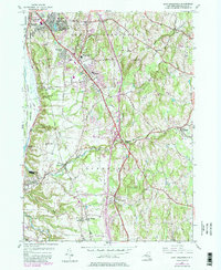
1953 Map of East Greenbush
USGS Topo · Published 1980About this map
The town of East Greenbush and its burgeoning mid-century suburbs are the focus of this 1953 survey, which captures the area before the full expansion of the Capital Region's modern infrastructure. The landscape is dotted with early residential developments such as Prospect Heights, Clinton Heights, and Hampton Park, contrasted by the institutional presence of the East Greenbush Central Sch and the Red Mill Sch.
Find a feature on this map
48 named features on this map. Tap any name to fly to it.
Don’t see what you’re looking for? This feature index may not catch every label — zoom into the map to look around manually.
Map Details
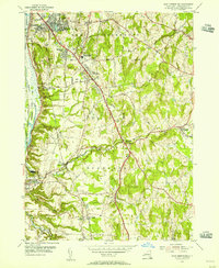
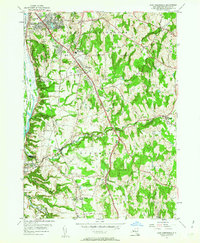
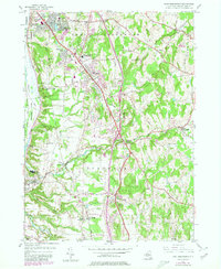
Editions of this 1953 East Greenbush Map
4 editions found
Other maps of this area

1893 · Troy
USGS Topo · 1:62,500

1893 · Coxsackie
USGS Topo · 1:62,500

1893 · Albany
USGS Topo · 1:62,500

1894 · Coxsackie
USGS Topo · 1:62,500

1895 · Troy
USGS Topo · 1:62,500

1895 · Albany
USGS Topo · 1:62,500

1898 · Albany
USGS Topo · 1:62,500

1898 · Troy
USGS Topo · 1:62,500

1903 · Kinderhook
USGS Topo · 1:62,500

1925 · Troy
USGS Topo · 1:48,000