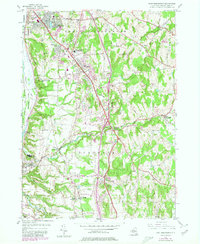
1953 Map of East Greenbush
USGS Topo · Published 1980About this map
The transition from riverfront commerce to suburban expansion is evident in this mid-century survey of Rensselaer County. Castleton-on-Hudson anchors the southwestern corner along the river, while the hilly interior is defined by several "Park" and "Heights" developments such as Clinton Park and Sherwood Park. The landscape is etched by a series of drainage systems including the Moordener Kill and Vlockie Kill, which carve through the terrain toward the Hudson River. This edition includes revisions from 1978, showing the maturation of the regional road network around Schodack Center and the enduring presence of local landmarks like the Red Mill Sch and Greenbush Cem. From the small Castleton-on-Hudson Airport to the industrial Power House, the map documents a community balancing its rural roots with growing connectivity to nearby Troy and Albany.
Find a feature on this map
47 named features on this map. Tap any name to fly to it.
Don’t see what you’re looking for? This feature index may not catch every label — zoom into the map to look around manually.
Map Details
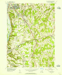
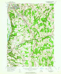
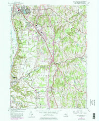
Editions of this 1953 East Greenbush Map
4 editions found
Other maps of this area

1893 · Troy
USGS Topo · 1:62,500

1893 · Coxsackie
USGS Topo · 1:62,500

1893 · Albany
USGS Topo · 1:62,500

1894 · Coxsackie
USGS Topo · 1:62,500

1895 · Troy
USGS Topo · 1:62,500

1895 · Albany
USGS Topo · 1:62,500

1898 · Albany
USGS Topo · 1:62,500

1898 · Troy
USGS Topo · 1:62,500

1903 · Kinderhook
USGS Topo · 1:62,500

1925 · Troy
USGS Topo · 1:48,000