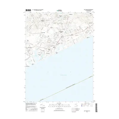
2016 Map of East Hampton
USGS Topo · Published 2016About this map
The south fork of Long Island is defined here by its dense cluster of historic settlements and coastal landmarks. Significant burial grounds such as Most Holy Trinity Roman Catholic Cem and Cedar Lawn Cem are situated alongside established residential areas like East Hampton North, Freetown, and Pantigo. The map illustrates the geographical relationship between interior locations like Hardscrabble and the expansive shoreline of the Atlantic Ocean.
Find a feature on this map
175 named features on this map. Tap any name to fly to it.
Don’t see what you’re looking for? This feature index may not catch every label — zoom into the map to look around manually.
Map Details
Editions of this 2016 East Hampton Map
This is the sole edition of this map. No revisions or reprints were ever made.
Other maps of this area

1903 · Sag Harbor
USGS Topo · 1:62,500

1903 · Gardiners Island
USGS Topo · 1:62,500

1904 · Sag Harbor
USGS Topo · 1:62,500

1904 · Shelter Island
USGS Topo · 1:62,500

1904 · Easthampton
USGS Topo · 1:62,500

1904 · Gardiners Island
USGS Topo · 1:62,500

1921 · Gardiners Island
USGS Topo · 1:62,500

1921 · Easthampton
USGS Topo · 1:62,500

1943 · Gardiners Island East
USGS Topo · 1:24,000

1944 · Gardiners Island West
USGS Topo · 1:24,000
Featured Places
- Southampton, NY
- East Hampton, NY
- Springs, East Hampton
- East Hampton North, East Hampton
- Northwest Harbor, East Hampton