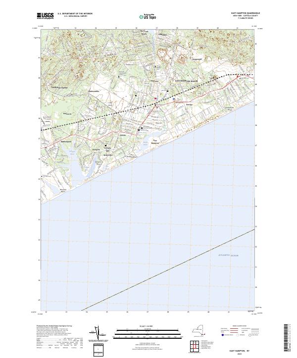
2023 Map of East Hampton
USGS Topo · Published 2023About this map
Georgica Pond and the surrounding coastal settlements of Wainscott, Georgica, and Apaquogue define this detailed 2023 survey of eastern Long Island. The landscape is a dense network of hamlets and historic estates, where the transition from residential lanes like Further Ln to the Atlantic Ocean coastline is marked by broad stretches like East Hampton Beach and Amagansett Beach. Inland, the map reveals a significant concentration of burial grounds, including North End Cem, Cedar Lawn Cem, and Round Swamp Cem, which provide essential points of reference for local historians and genealogists.
Find a feature on this map
170 named features on this map. Tap any name to fly to it.
Don’t see what you’re looking for? This feature index may not catch every label — zoom into the map to look around manually.
Map Details
Editions of this 2023 East Hampton Map
This is the sole edition of this map. No revisions or reprints were ever made.
Other maps of this area

1903 · Sag Harbor
USGS Topo · 1:62,500

1903 · Gardiners Island
USGS Topo · 1:62,500

1904 · Sag Harbor
USGS Topo · 1:62,500

1904 · Shelter Island
USGS Topo · 1:62,500

1904 · Easthampton
USGS Topo · 1:62,500

1904 · Gardiners Island
USGS Topo · 1:62,500

1921 · Gardiners Island
USGS Topo · 1:62,500

1921 · Easthampton
USGS Topo · 1:62,500

1943 · Gardiners Island East
USGS Topo · 1:24,000

1944 · Gardiners Island West
USGS Topo · 1:24,000
Featured Places
- Southampton, NY
- East Hampton, NY
- Springs, East Hampton
- East Hampton North, East Hampton
- Northwest Harbor, East Hampton