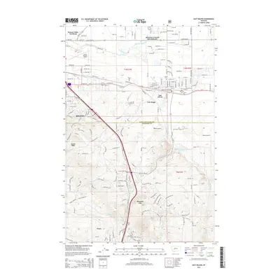
2014 Map of East Helena
USGS Topo · Published 2014About this map
Helena and the industrial hub of East Helena serve as the focal points of this 2014 landscape, where the urban edge meets the complex topography of the Four Range and South Hills. The map details the vital water infrastructure of the Helena Valley Canal and Prickly Pear Cr, alongside the Northern Pacific Reservoir. These features, combined with the extensive transport network centered on the Helena Regional Airport, show a region defined by its role as a jurisdictional and transit crossroads at the border of Lewis and Clark and Jefferson Counties.
Find a feature on this map
172 named features on this map. Tap any name to fly to it.
Don’t see what you’re looking for? This feature index may not catch every label — zoom into the map to look around manually.
Map Details
Editions of this 2014 East Helena Map
This is the sole edition of this map. No revisions or reprints were ever made.
Other maps of this area

1886 · Fort Logan
USGS Topo · 1:250,000

1889 · Helena
USGS Topo · 1:250,000

1893 · Helena
USGS Topo · 1:250,000

1899 · Boulder
USGS Topo · 1:125,000

1899 · Helena
USGS Topo · 1:62,500

1899 · Helena
USGS Topo · 1:250,000

1903 · Helena
USGS Topo · 1:250,000

1947 · Butte
USGS Topo · 1:250,000

1948 · White Sulphur Springs
USGS Topo · 1:250,000

1950 · Jefferson City
USGS Topo · 1:62,500