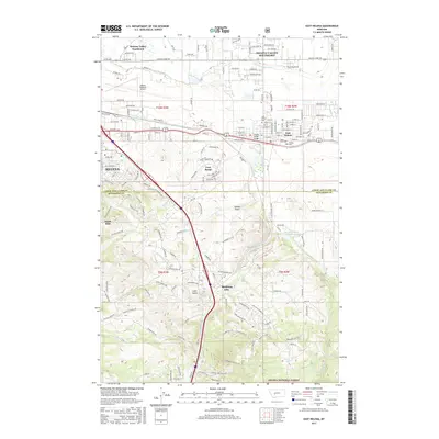
2017 Map of East Helena
USGS Topo · Published 2017About this map
East Helena and the outskirts of Helena anchor this 2017 survey, where the urban grid gives way to the industrial and agricultural landscape of the Prickly Pear Cr valley. This area is characterized by significant infrastructure, including the Helena Regional Airport and the complex water management of the Helena Valley Canal. Local history is preserved in a concentration of burial grounds such as the East Helena Cem, Saint Anns Cem, and the Serbian Cem, reflecting the diverse community that established itself near the transport lines of the Northern Pacific railroad.
Find a feature on this map
81 named features on this map. Tap any name to fly to it.
Don’t see what you’re looking for? This feature index may not catch every label — zoom into the map to look around manually.
Map Details
Editions of this 2017 East Helena Map
This is the sole edition of this map. No revisions or reprints were ever made.
Other maps of this area

1886 · Fort Logan
USGS Topo · 1:250,000

1889 · Helena
USGS Topo · 1:250,000

1893 · Helena
USGS Topo · 1:250,000

1899 · Boulder
USGS Topo · 1:125,000

1899 · Helena
USGS Topo · 1:62,500

1899 · Helena
USGS Topo · 1:250,000

1903 · Helena
USGS Topo · 1:250,000

1947 · Butte
USGS Topo · 1:250,000

1948 · White Sulphur Springs
USGS Topo · 1:250,000

1950 · Jefferson City
USGS Topo · 1:62,500