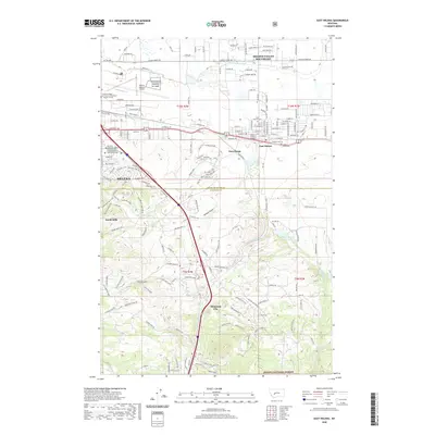
2020 Map of East Helena
USGS Topo · Published 2020About this map
Helena and East Helena anchor this map of the southeastern Helena Valley, where urban expansion meets the rugged foothills of the Helena National Forest. The geography is defined by a sophisticated water and transportation network, including the Helena Valley Canal and the Montana Rail Link, which serve the valley floor. Near the city center, the Helena Regional Airport and NG Helena Aviation RC-AASF emphasize the area's significance as a regional hub for transportation and aviation infrastructure.
Find a feature on this map
176 named features on this map. Tap any name to fly to it.
Don’t see what you’re looking for? This feature index may not catch every label — zoom into the map to look around manually.
Map Details
Editions of this 2020 East Helena Map
This is the sole edition of this map. No revisions or reprints were ever made.
Other maps of this area

1886 · Fort Logan
USGS Topo · 1:250,000

1889 · Helena
USGS Topo · 1:250,000

1893 · Helena
USGS Topo · 1:250,000

1899 · Boulder
USGS Topo · 1:125,000

1899 · Helena
USGS Topo · 1:62,500

1899 · Helena
USGS Topo · 1:250,000

1903 · Helena
USGS Topo · 1:250,000

1947 · Butte
USGS Topo · 1:250,000

1948 · White Sulphur Springs
USGS Topo · 1:250,000

1950 · Jefferson City
USGS Topo · 1:62,500