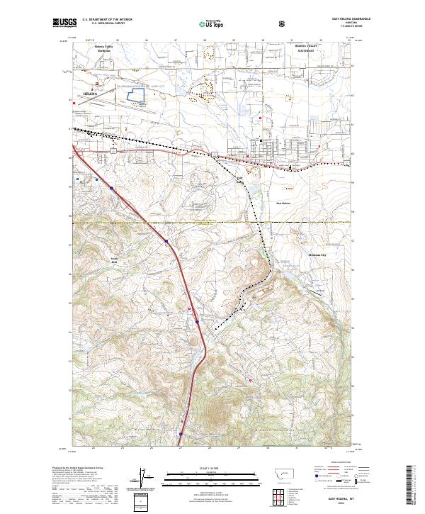
2024 Map of East Helena
USGS Topo · Published 2024About this map
Helena and its industrial neighbor East Helena anchor this modern landscape where the Helena Valley meets the rising elevations of the Boulder Mountains and Elkhorn Mountains. The map highlights the intensive infrastructure required to support the state capital, featuring the expansive Helena Regional Airport and the specialized Helena College University of Montana Airport Campus. Settlement patterns are closely tied to the water and topography of the region, from the residential grids of Montana City to the winding path of the Helena Valley Canal. The transition from the flat valley floor to the South Hills is marked by numerous gulches and drainages, including Holmes Gulch and Clark Gulch. Notable for local history and genealogy are the East Helena Cem and Saint Anns Cem, located near the heart of the East Helena community along Prickly Pear Creek, which flows northward through the industrial and residential corridors.
Find a feature on this map
94 named features on this map. Tap any name to fly to it.
Don’t see what you’re looking for? This feature index may not catch every label — zoom into the map to look around manually.
Map Details
Editions of this 2024 East Helena Map
This is the sole edition of this map. No revisions or reprints were ever made.
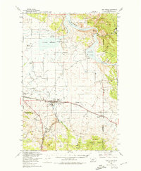
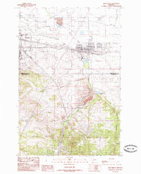
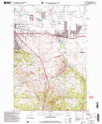
Historical Maps of Montana City Through Time
4 maps found