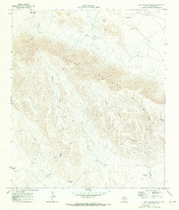
1970 Map of East Hunter Canyon
USGS Topo · Published 1973About this map
The Apache Mountains dominate this high-desert landscape in west Texas, where 1970s land use centered on ranching and resource exploration. Scattered livestock operations like Gentry Ranch and Krouse are positioned near seasonal water sources, including the Sacaton Draw and Hunter Canyon. The presence of numerous engineered water features such as No 4 Tank, Alto Tank, and Buckhorn Tank underscores the critical importance of water management for cattle in this arid terrain. Prospecting and extraction are evident through several named Mine and Prospects sites, along with a Gravel Pit near Clayton Draw. These features, alongside landmarks like Powder Bluff and Seven Heart Gap, illustrate a rugged environment where survival and industry depended entirely on navigating the natural canyons and the rare availability of water.
Find a feature on this map
22 named features on this map. Tap any name to fly to it.
Don’t see what you’re looking for? This feature index may not catch every label — zoom into the map to look around manually.
Map Details
Editions of this 1970 East Hunter Canyon Map
This is the sole edition of this map. No revisions or reprints were ever made.
Other maps of this area

1906 · Van Horn
USGS Topo · 1:125,000

1928 · Kent
USGS Topo · 1:125,000

1954 · Van Horn
USGS Topo · 1:250,000

1958 · Van Horn
USGS Topo · 1:250,000
1964 · Goat Canyon
USGS Topo · 1:24,000
1964 · Plateau
USGS Topo · 1:24,000
1970 · Boracho
USGS Topo · 1:24,000
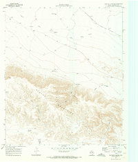
1970 · Panther Canyon
USGS Topo · 1:24,000
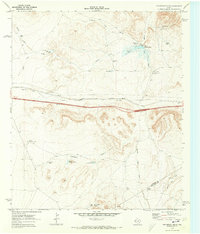
1970 · Fencepost Draw
USGS Topo · 1:24,000

1972 · Seven Heart Gap
USGS Topo · 1:24,000