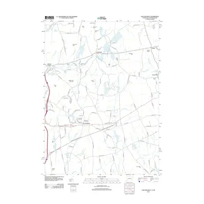
2012 Map of East Killingly
USGS Topo · Published 2012About this map
East Killingly and its neighboring villages serve as the focus of this borderland survey, where the Connecticut and Rhode Island state lines meet amid the rocky elevations of the Northeastern Connecticut Planning Region. The landscape is defined by its many water bodies, from the Fivemile River in the northwest to the Moosup River in the southeast, with numerous smaller ponds like Lake Albert and Shippee Sawmill Pond scattered across the terrain. These water sources historically powered the mills and farms that established the region's character.
Find a feature on this map
147 named features on this map. Tap any name to fly to it.
Don’t see what you’re looking for? This feature index may not catch every label — zoom into the map to look around manually.
Map Details
Editions of this 2012 East Killingly Map
This is the sole edition of this map. No revisions or reprints were ever made.
Other maps of this area

1889 · Putnam
USGS Topo · 1:62,500

1889 · Burrillville
USGS Topo · 1:62,500

1889 · Moosup
USGS Topo · 1:62,500

1890 · Kent
USGS Topo · 1:62,500

1893 · Putnam
USGS Topo · 1:62,500

1893 · Moosup
USGS Topo · 1:62,500

1894 · Burrillville
USGS Topo · 1:62,500

1894 · Kent
USGS Topo · 1:62,500

1915 · Burrillville
USGS Topo · 1:62,500

1919 · Putnam
USGS Topo · 1:62,500