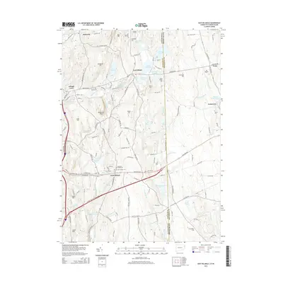
2015 Map of East Killingly
USGS Topo · Published 2015About this map
East Killingly and the surrounding borderlands of eastern Connecticut and western Rhode Island are defined by a complex network of reservoirs and historic small-scale settlements. The landscape reflects a legacy of water management and rural community life, anchored by prominent elevations like Jerimoth Hill and Mt Hygeia. Evidence of the region’s long-standing families is found in numerous burial grounds, including the Old Chestnut Hill Cem and Brainard Cem, which are scattered throughout the wooded hills and along the valley of Whetstone Brook.
Find a feature on this map
140 named features on this map. Tap any name to fly to it.
Don’t see what you’re looking for? This feature index may not catch every label — zoom into the map to look around manually.
Map Details
Editions of this 2015 East Killingly Map
This is the sole edition of this map. No revisions or reprints were ever made.
Other maps of this area

1889 · Putnam
USGS Topo · 1:62,500

1889 · Burrillville
USGS Topo · 1:62,500

1889 · Moosup
USGS Topo · 1:62,500

1890 · Kent
USGS Topo · 1:62,500

1893 · Putnam
USGS Topo · 1:62,500

1893 · Moosup
USGS Topo · 1:62,500

1894 · Burrillville
USGS Topo · 1:62,500

1894 · Kent
USGS Topo · 1:62,500

1915 · Burrillville
USGS Topo · 1:62,500

1919 · Putnam
USGS Topo · 1:62,500