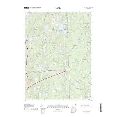
2023 Map of East Killingly
USGS Topo · Published 2023About this map
East Killingly and the surrounding woodlands on the Connecticut and Rhode Island border reveal a landscape defined by small early settlements and numerous private family burial grounds. The rugged terrain of Mashentuck Mtn and Jerimoth Hill—Rhode Island's highest point—is dotted with genealogical landmarks such as the Gideon Burgess Lot Cem and the Smith-Mason Cem. This 2023 survey illustrates how 19th-century land-use patterns persist through these small plots and the managed waters of Bog Meadow Reservoir and Middle Reservoir.
Find a feature on this map
192 named features on this map. Tap any name to fly to it.
Don’t see what you’re looking for? This feature index may not catch every label — zoom into the map to look around manually.
Map Details
Editions of this 2023 East Killingly Map
This is the sole edition of this map. No revisions or reprints were ever made.
Other maps of this area

1889 · Putnam
USGS Topo · 1:62,500

1889 · Burrillville
USGS Topo · 1:62,500

1889 · Moosup
USGS Topo · 1:62,500

1890 · Kent
USGS Topo · 1:62,500

1893 · Putnam
USGS Topo · 1:62,500

1893 · Moosup
USGS Topo · 1:62,500

1894 · Burrillville
USGS Topo · 1:62,500

1894 · Kent
USGS Topo · 1:62,500

1915 · Burrillville
USGS Topo · 1:62,500

1919 · Putnam
USGS Topo · 1:62,500