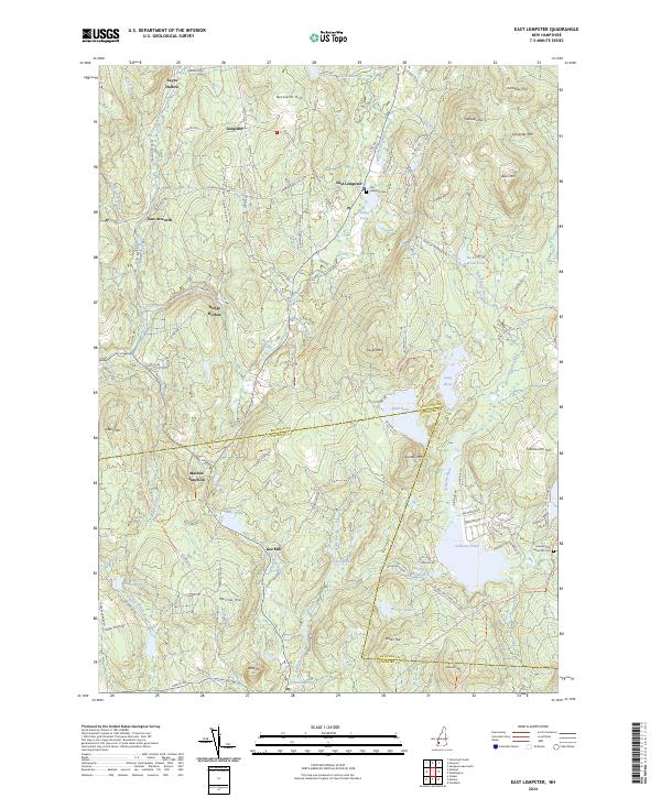
2024 Map of East Lempster
USGS Topo · Published 2024About this map
East Lempster serves as a central hub in this upland landscape, where the Sullivan and Cheshire County line divides a terrain defined by granite peaks and numerous ponds. The settlement pattern follows the narrow valleys and hollows, including Keyes Hollow in the north and Dodge Hollow to the west. Transportation routes like the 2nd N H Tpke and Charlestown Tpke suggest historical corridors that linked these isolated communities to larger trade centers.
Find a feature on this map
118 named features on this map. Tap any name to fly to it.
Don’t see what you’re looking for? This feature index may not catch every label — zoom into the map to look around manually.
Map Details
Editions of this 2024 East Lempster Map
This is the sole edition of this map. No revisions or reprints were ever made.
Other maps of this area

1902 · Sunapee
USGS Topo · 1:62,500

1905 · Sunapee
USGS Topo · 1:62,500

1907 · Sunapee
USGS Topo · 1:62,500

1926 · Claremont
USGS Topo · 1:62,500

1927 · Bellows Falls
USGS Topo · 1:48,000

1929 · Claremont
USGS Topo · 1:62,500

1930 · Lovewell Mountain
USGS Topo · 1:62,500

1930 · Bellows Falls
USGS Topo · 1:62,500

1942 · Lovewell Mountain
USGS Topo · 1:62,500

1950 · Glens Falls
USGS Topo · 1:250,000