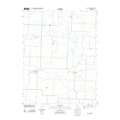
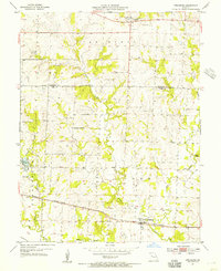
2011 Map of East Lynne
USGS Topo · Published 2011About this map
East Lynne and Gunn City anchor this Cass County landscape, where a dense network of sectional roads connects the small agricultural communities. The terrain is defined by the winding course of Big Creek and its many tributaries, including Willow Branch and Camp Branch, which carve through the prairie. Family history and local heritage are marked by several small burial grounds, such as Staley Mound Cemetery and Gunn City Cemetery, reflecting the long-standing settlement of the area.
Find a feature on this map
58 named features on this map. Tap any name to fly to it.
Don’t see what you’re looking for? This feature index may not catch every label — zoom into the map to look around manually.
Map Details
Editions of this 2011 East Lynne Map
This is the sole edition of this map. No revisions or reprints were ever made.
Other maps of this area

1887 · Harrisonville
USGS Topo · 1:125,000

1892 · Harrisonville
USGS Topo · 1:125,000

1894 · Harrisonville
USGS Topo · 1:125,000

1947 · Lawrence
USGS Topo · 1:250,000

1950 · Lawrence
USGS Topo · 1:250,000

1954 · Harrisonville
USGS Topo · 1:24,000
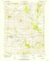
1954 · East Lynne
USGS Topo · 1:24,000
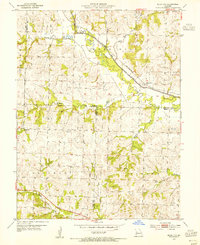
1954 · Quick City
USGS Topo · 1:24,000
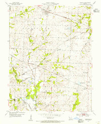
1954 · Kingsville
USGS Topo · 1:24,000
1954 · Strasburg
USGS Topo · 1:24,000