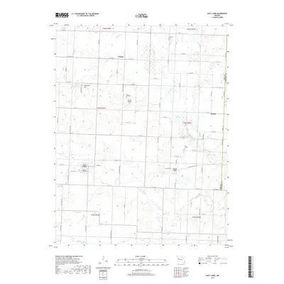
2017 Map of East Lynne
USGS Topo · Published 2017About this map
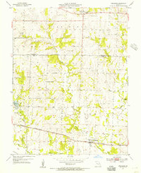
East Lynne and Gunn City anchor this portion of the western Missouri prairie, where a grid of rural roads connects established farming communities and family landmarks. The landscape is defined by its drainages, including the serpentine path of Big Cr and Camp Br, interspersed with numerous small bodies of water like Meher Lake and Young Lake. Local history is visible through the positioning of several rural cemeteries, such as the Staley Mound Cem located near the elevation of Staley Mound, and the Strasburg Cem to the north. Significant terrain features like Schindorff Hill rise above the surrounding creek bottoms of Louse Run and Crawford Cr. This contemporary topographic record reflects a landscape where the traditional section lines of the township and range system continue to dictate the pattern of human settlement and transport.
Find a feature on this map
83 named features on this map. Tap any name to fly to it.
Don’t see what you’re looking for? This feature index may not catch every label — zoom into the map to look around manually.
Map Details
Editions of this 2017 East Lynne Map
This is the sole edition of this map. No revisions or reprints were ever made.
Other maps of this area

1887 · Harrisonville
USGS Topo · 1:125,000

1892 · Harrisonville
USGS Topo · 1:125,000

1894 · Harrisonville
USGS Topo · 1:125,000

1947 · Lawrence
USGS Topo · 1:250,000

1950 · Lawrence
USGS Topo · 1:250,000

1954 · Harrisonville
USGS Topo · 1:24,000
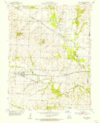
1954 · East Lynne
USGS Topo · 1:24,000
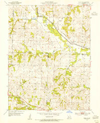
1954 · Quick City
USGS Topo · 1:24,000
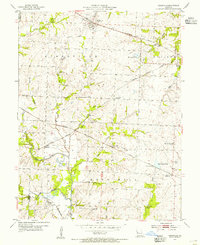
1954 · Kingsville
USGS Topo · 1:24,000
1954 · Strasburg
USGS Topo · 1:24,000