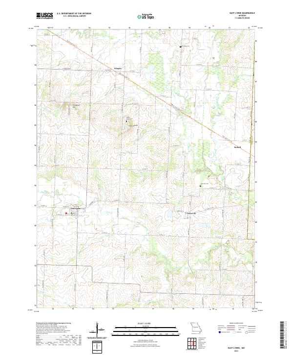
2021 Map of East Lynne
USGS Topo · Published 2021About this map
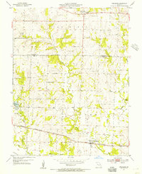
The agrarian landscape of eastern Cass County is defined by the winding course of Big Cr and its tributaries, including Camp Br and Willow Br. This 2021 survey shows the established rural communities of East Lynne and Gunn City, where the local economy once relied heavily on rail access. The former railway infrastructure is now reflected in the Rock Island Spur Trl, which cuts diagonally across the terrain from Wingate toward Hadsell.
Find a feature on this map
70 named features on this map. Tap any name to fly to it.
Don’t see what you’re looking for? This feature index may not catch every label — zoom into the map to look around manually.
Map Details
Editions of this 2021 East Lynne Map
This is the sole edition of this map. No revisions or reprints were ever made.
Other maps of this area

1887 · Harrisonville
USGS Topo · 1:125,000

1892 · Harrisonville
USGS Topo · 1:125,000

1894 · Harrisonville
USGS Topo · 1:125,000

1947 · Lawrence
USGS Topo · 1:250,000

1950 · Lawrence
USGS Topo · 1:250,000

1954 · Harrisonville
USGS Topo · 1:24,000
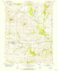
1954 · East Lynne
USGS Topo · 1:24,000
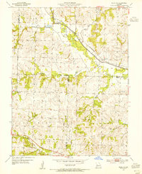
1954 · Quick City
USGS Topo · 1:24,000
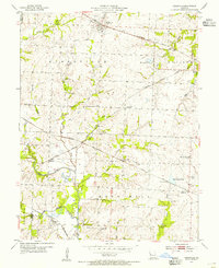
1954 · Kingsville
USGS Topo · 1:24,000
1954 · Strasburg
USGS Topo · 1:24,000